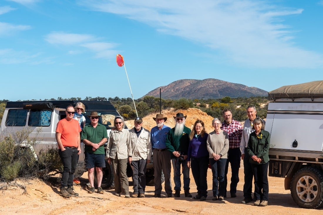
Participants:
Bob and Margaret Anderson
Andrew and Linden Chalmers
Tom and Ann de Jongh (Trip Leaders)
Chris Hopkin
Dolph and Leanne Page
Ian Voerman and Anne Parkinson
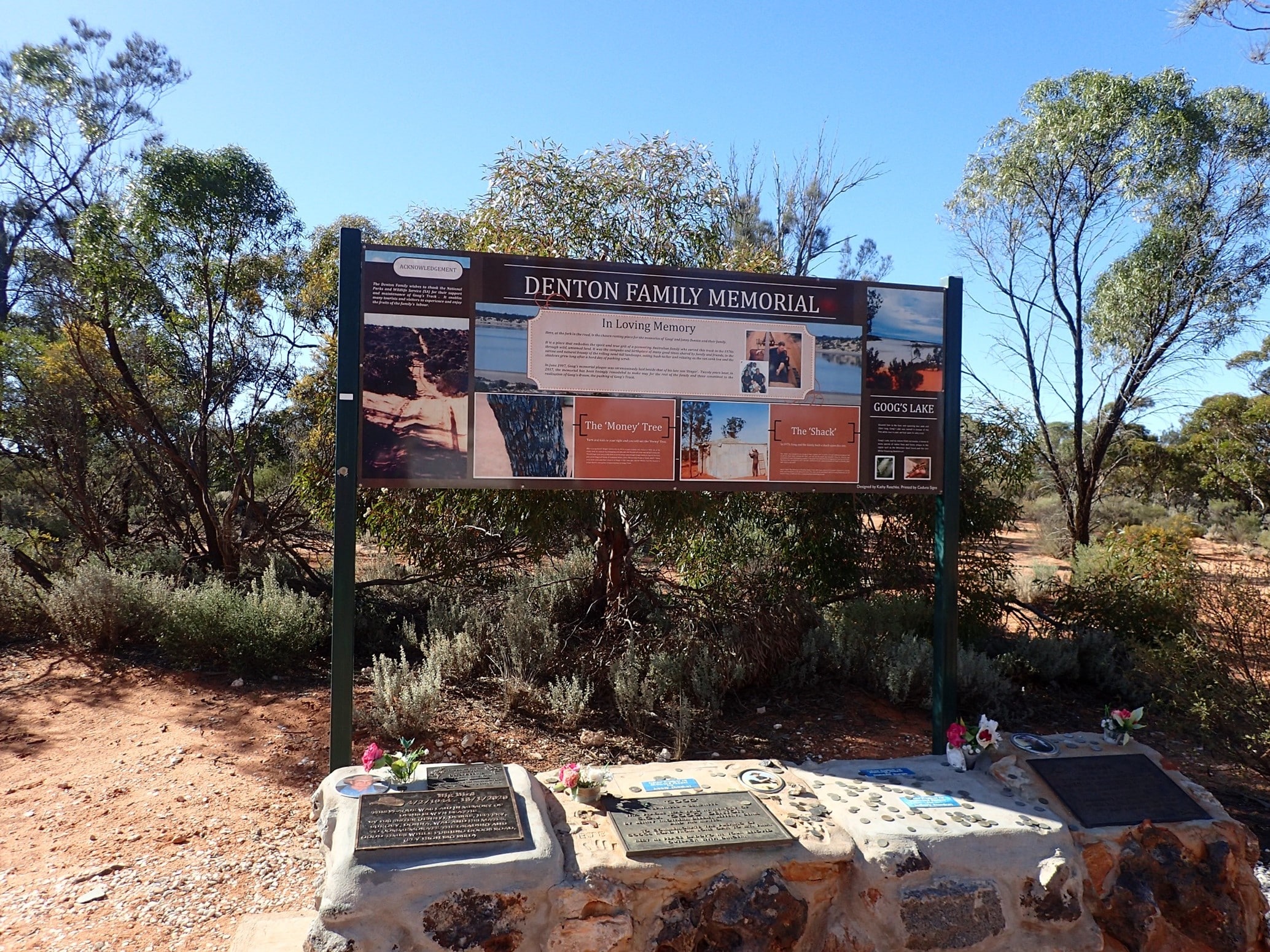
Goog’s track is named after John (Goog) Denton who pushed the track through from his property, just north of Ceduna, to the Trans-Australian Railway. Commencing in 1973 it took three years, a number of different vehicles, and the support of his family and friends to successfully reach his goal of making a short-cut for property owners to Tarcoola.
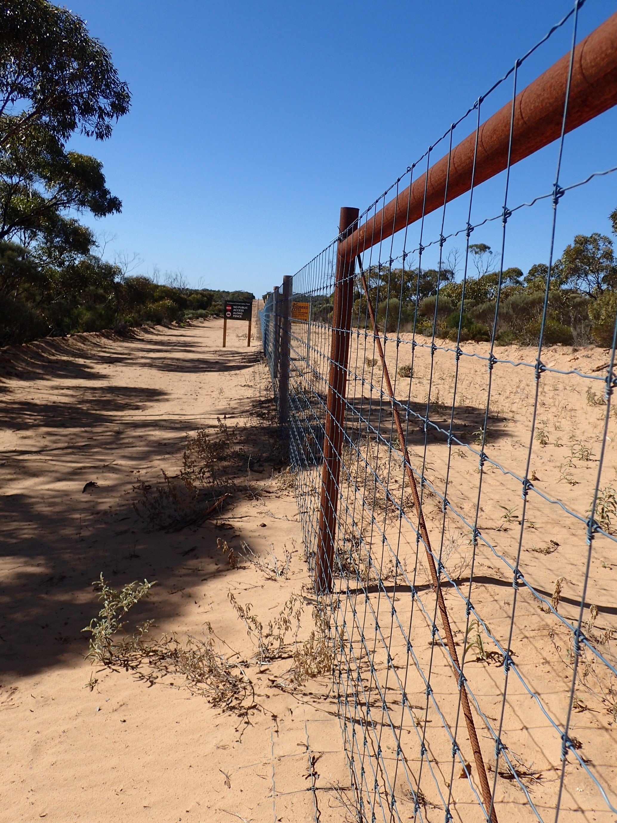
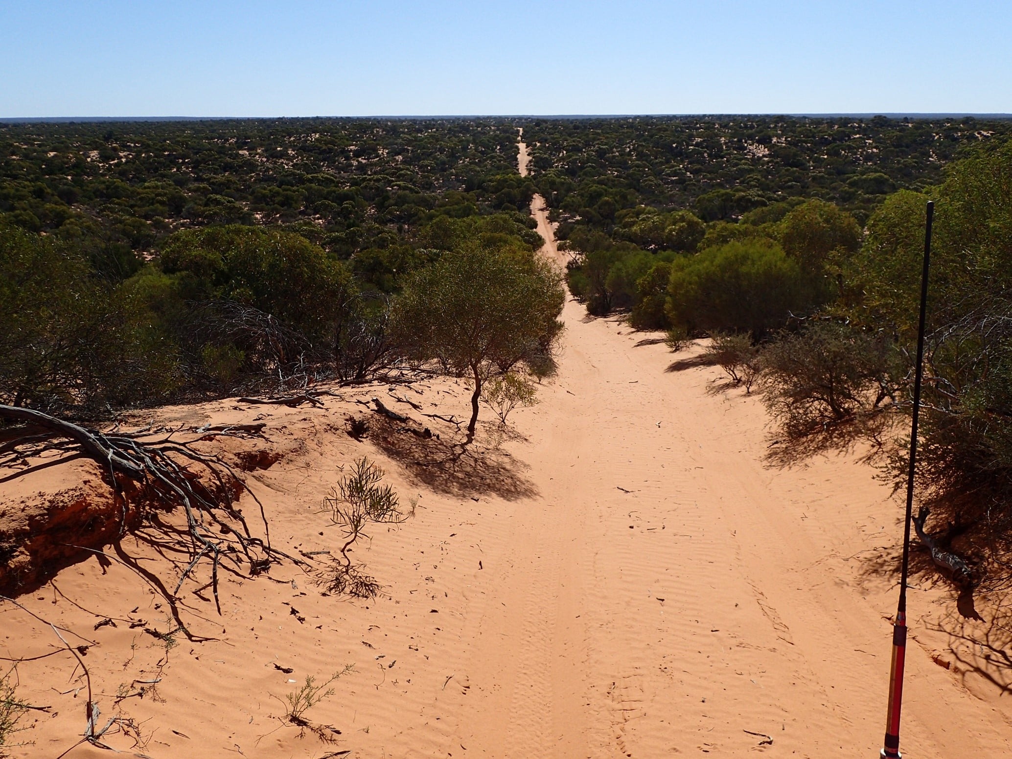
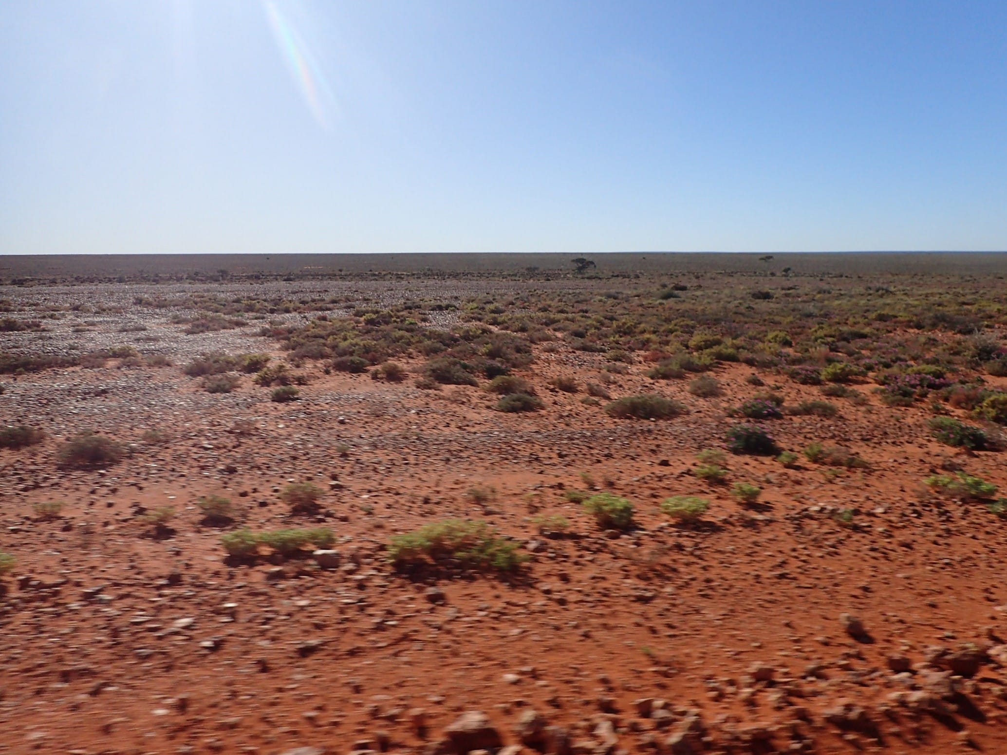
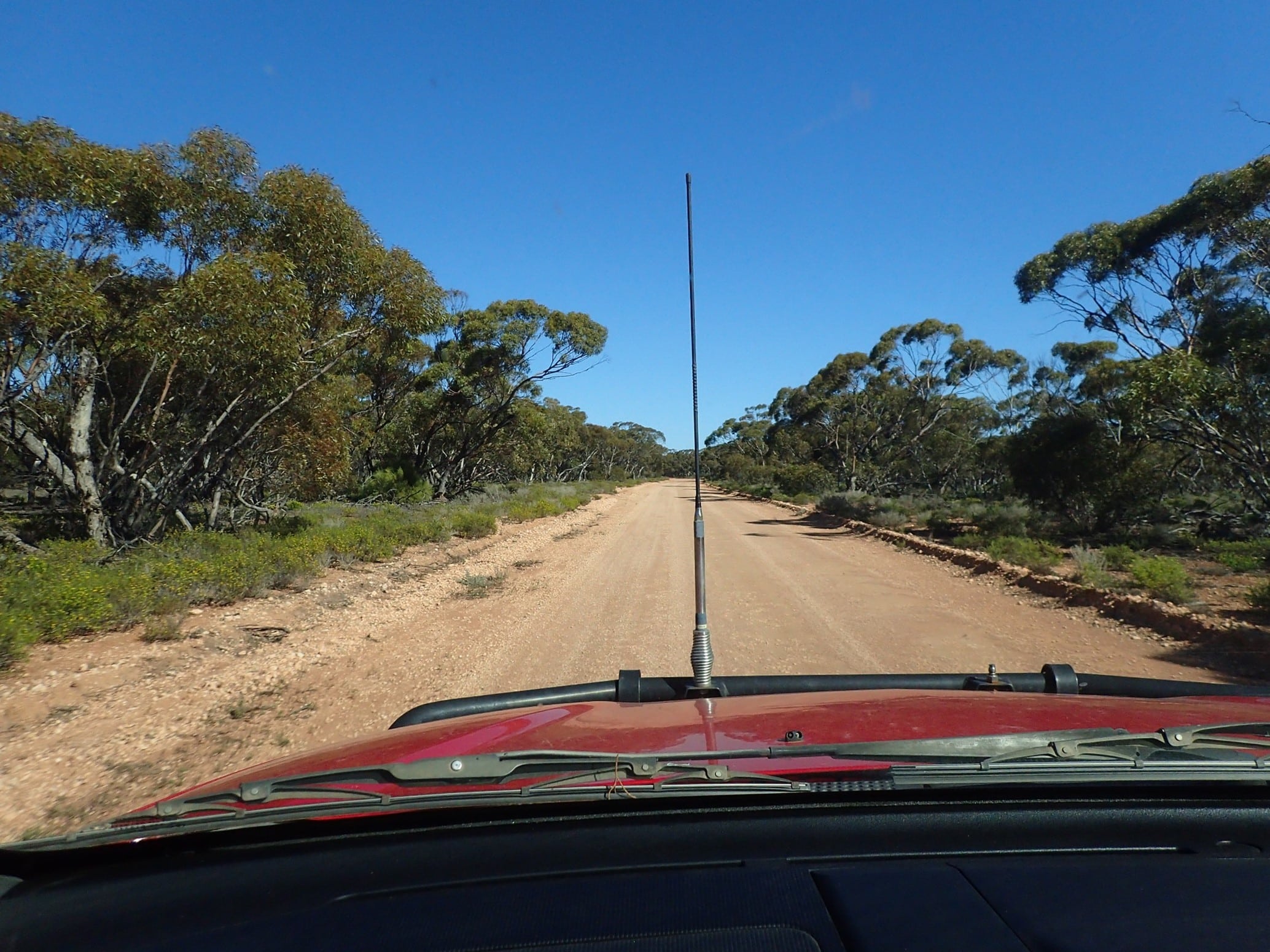
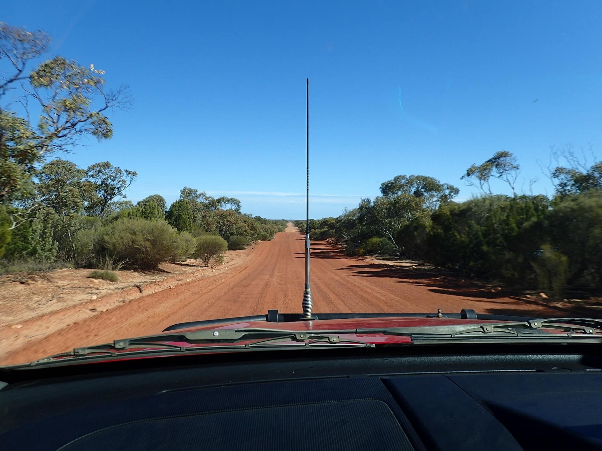
It was a mid-morning start with full fuel tanks and plenty of food on board we headed north from Ceduna, through the dog-proof fence and into Yumbarra Conservation Park. It was here that we aired down, erected our sand flags, and switched to UHF channel 18. The Goog’s track is a single track which makes its way over 363 sand dunes so it is important to keep communication open to communicate with vehicles travelling north to south.
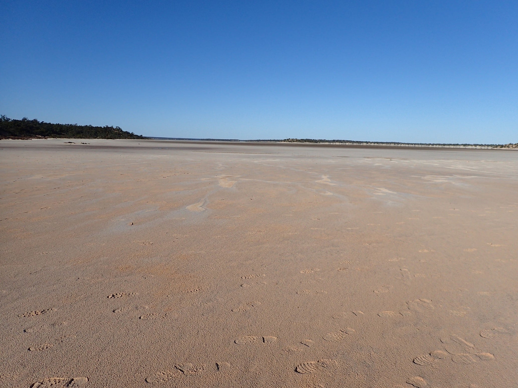
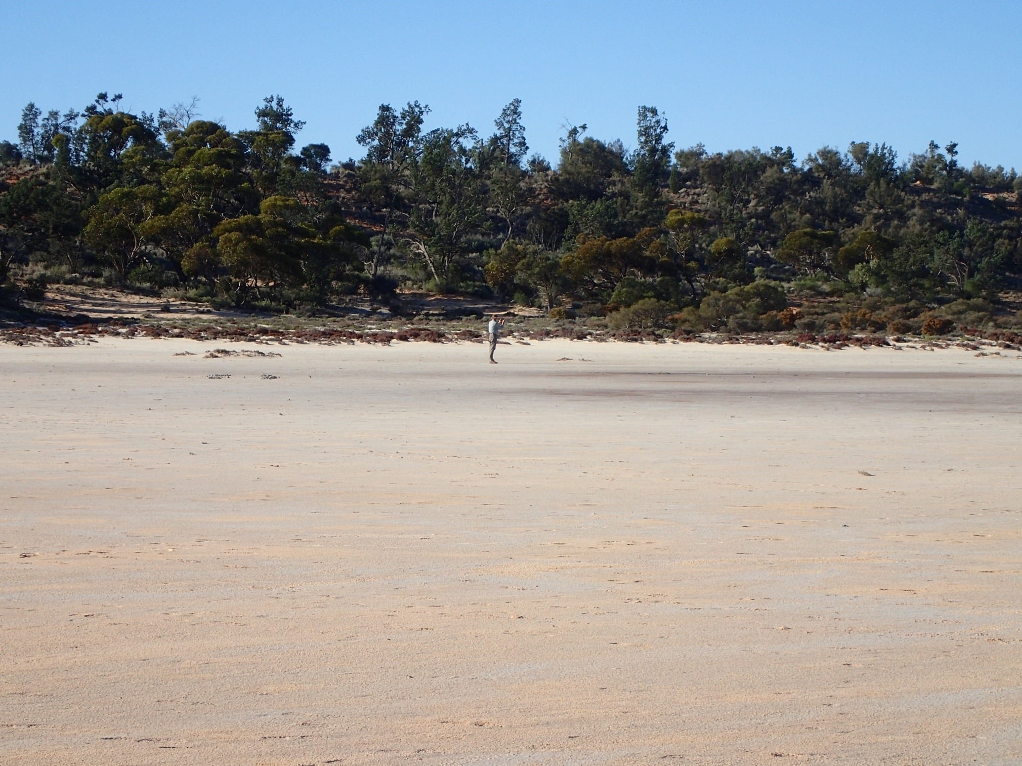
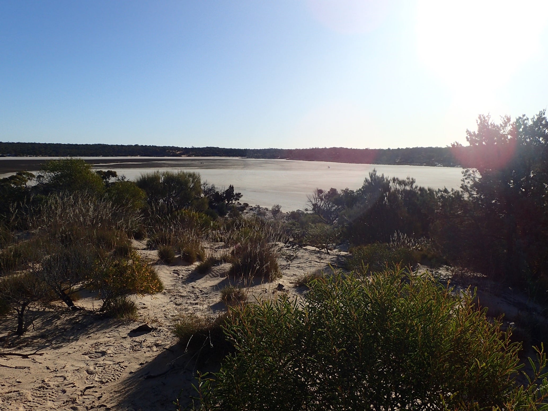
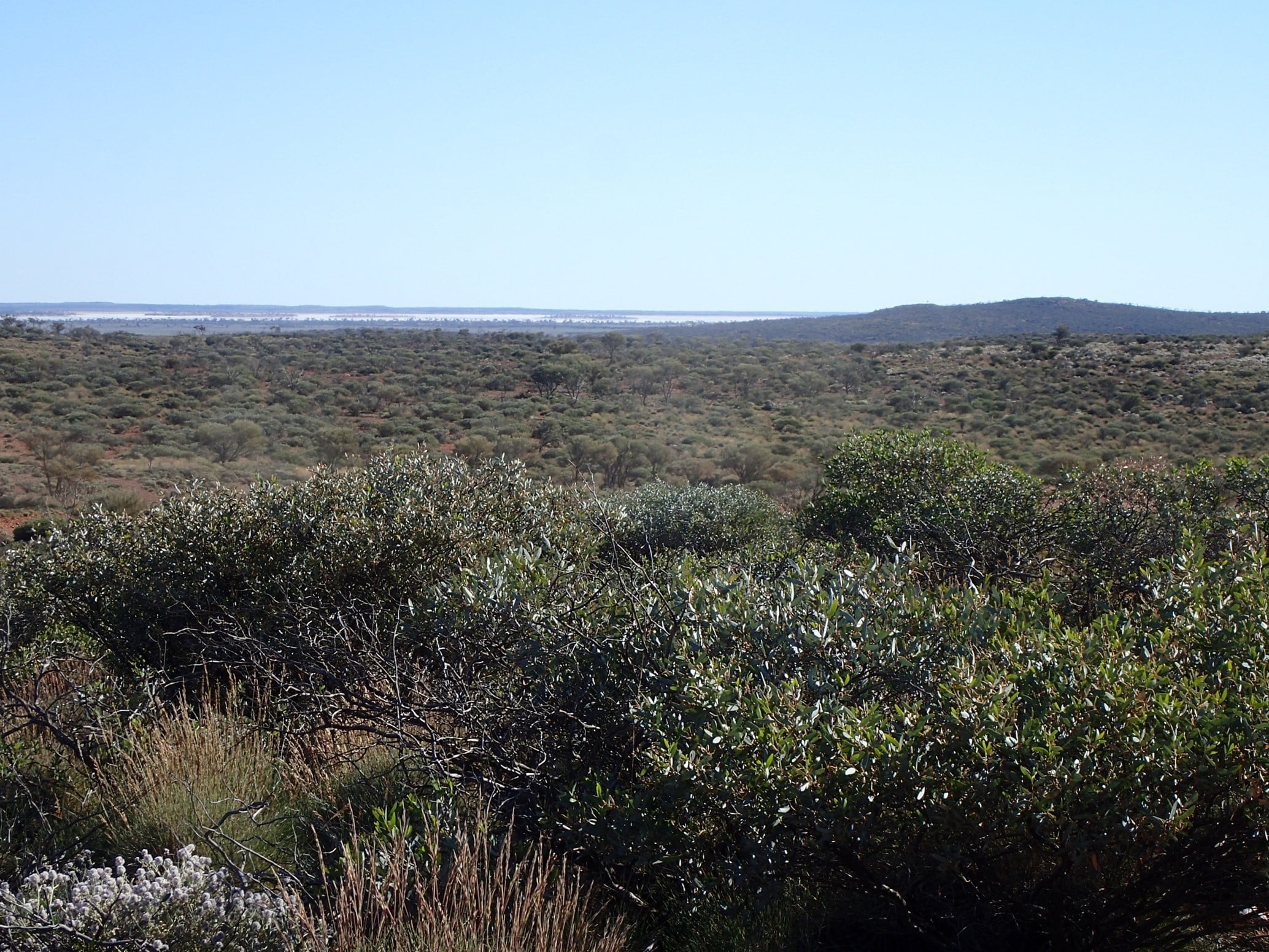
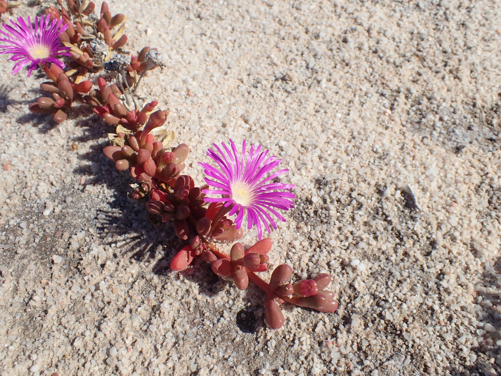
The further north we travelled the higher the sand dunes became, with the first large dune causing us all a few problems. Nevertheless it didn’t take us long to get the hang of dune driving. Passing Goog’s monuments we headed easterly off the track 4km to Goog’s Lake. This was our first campsite on the track. The group explored the lake surrounds, wildflowers, and walked the salt lake surface. The night was freezing after a warm day.
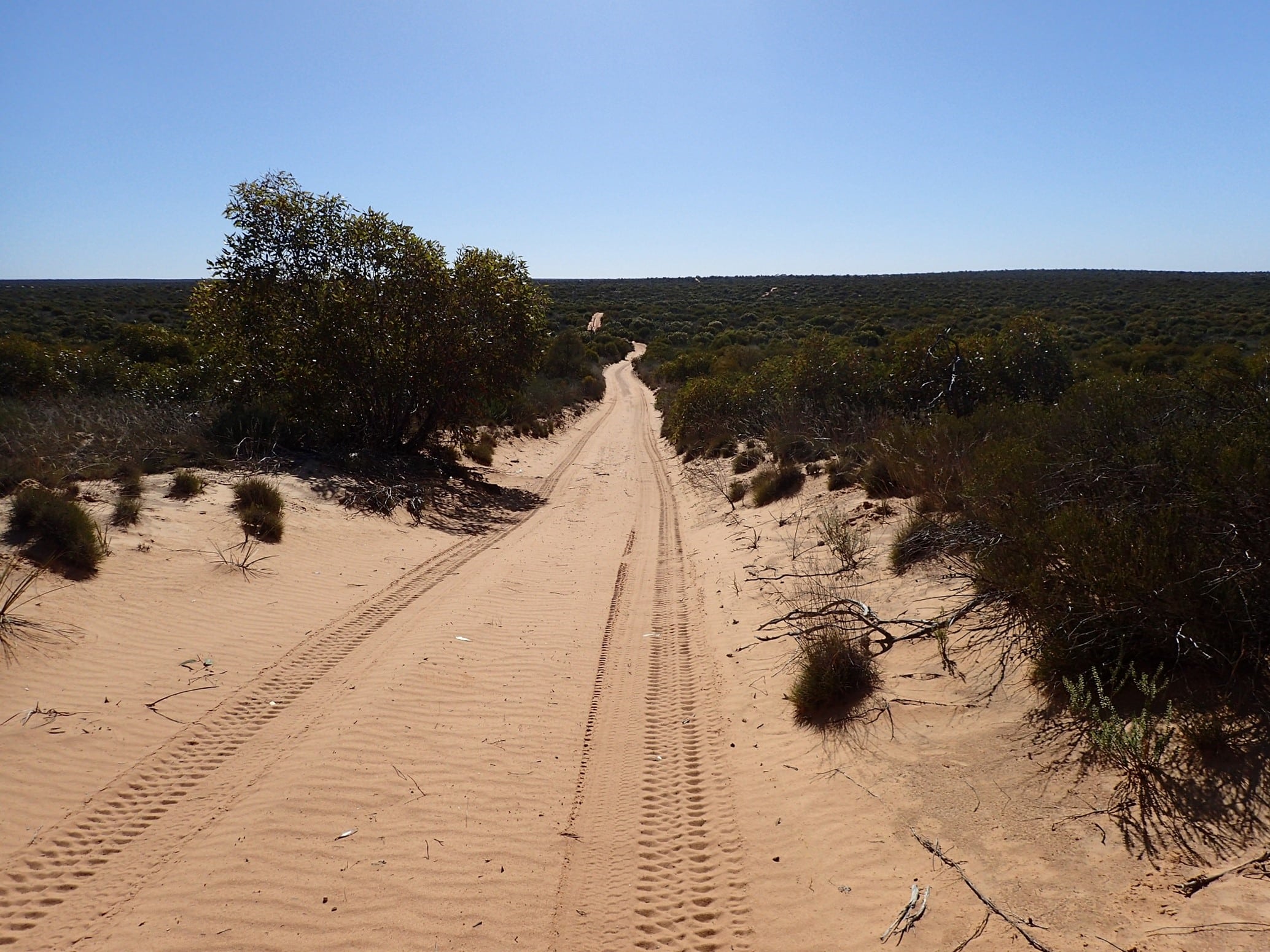
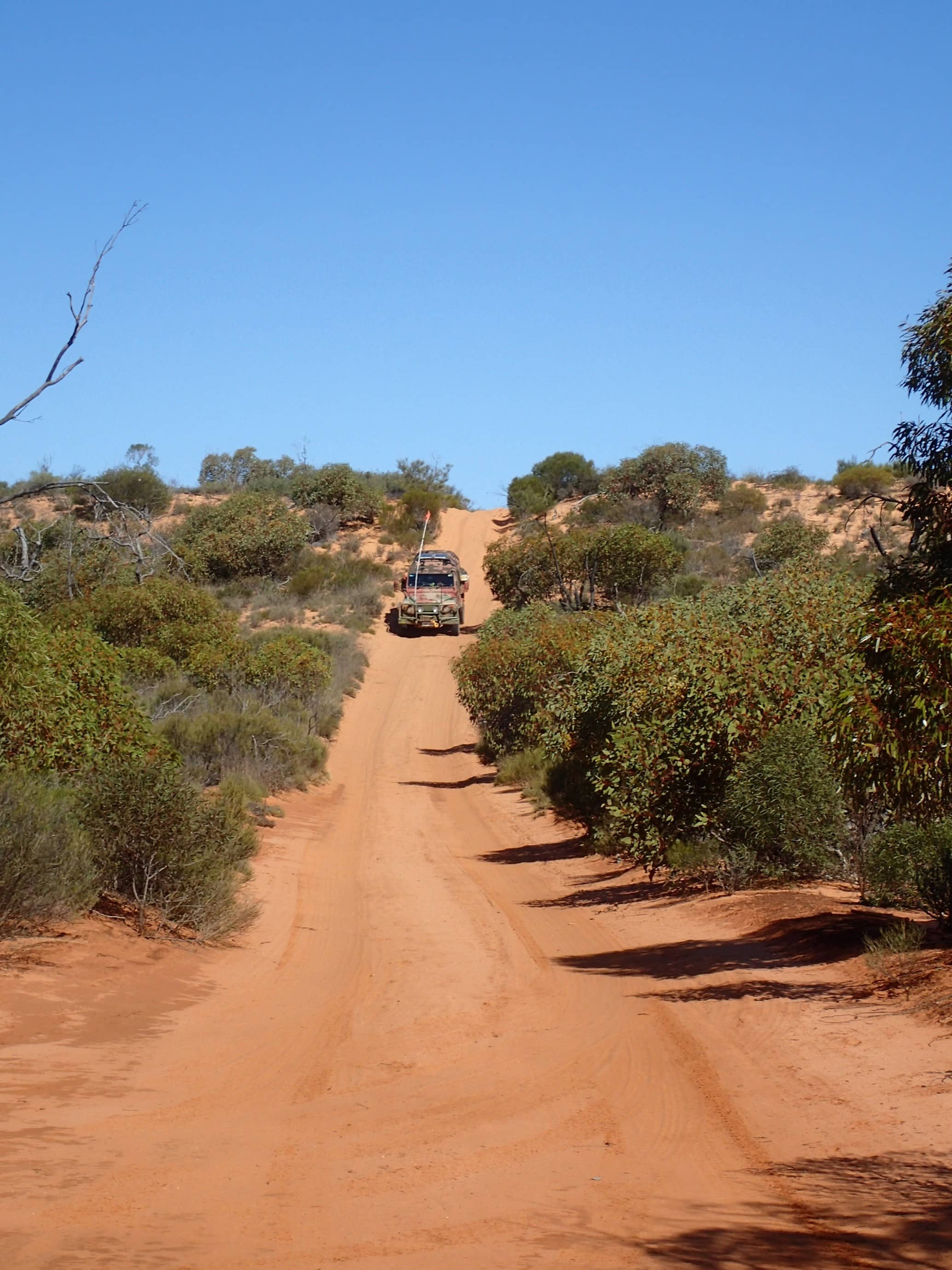
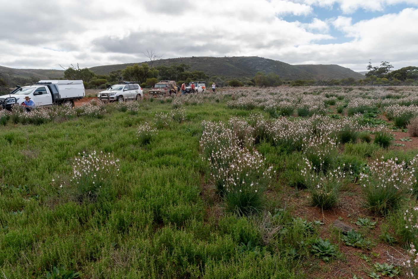
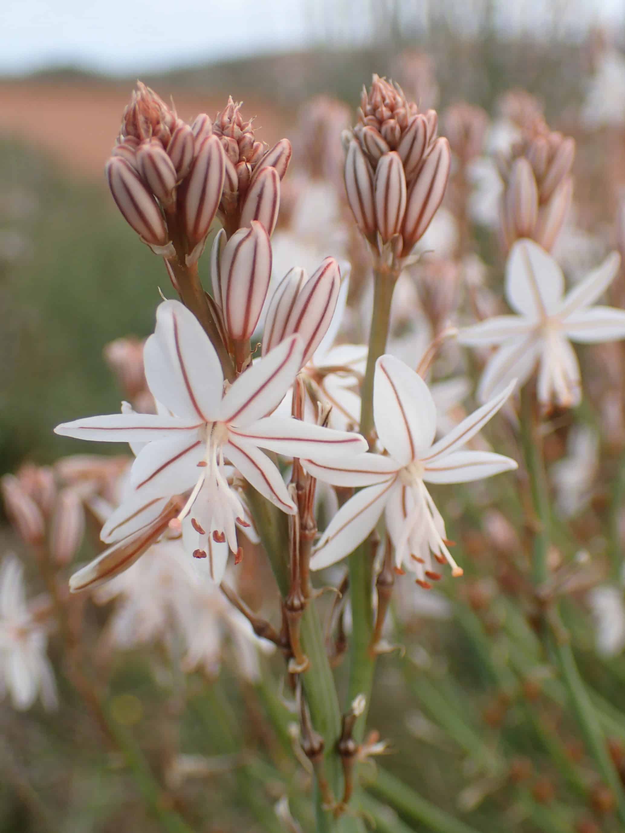
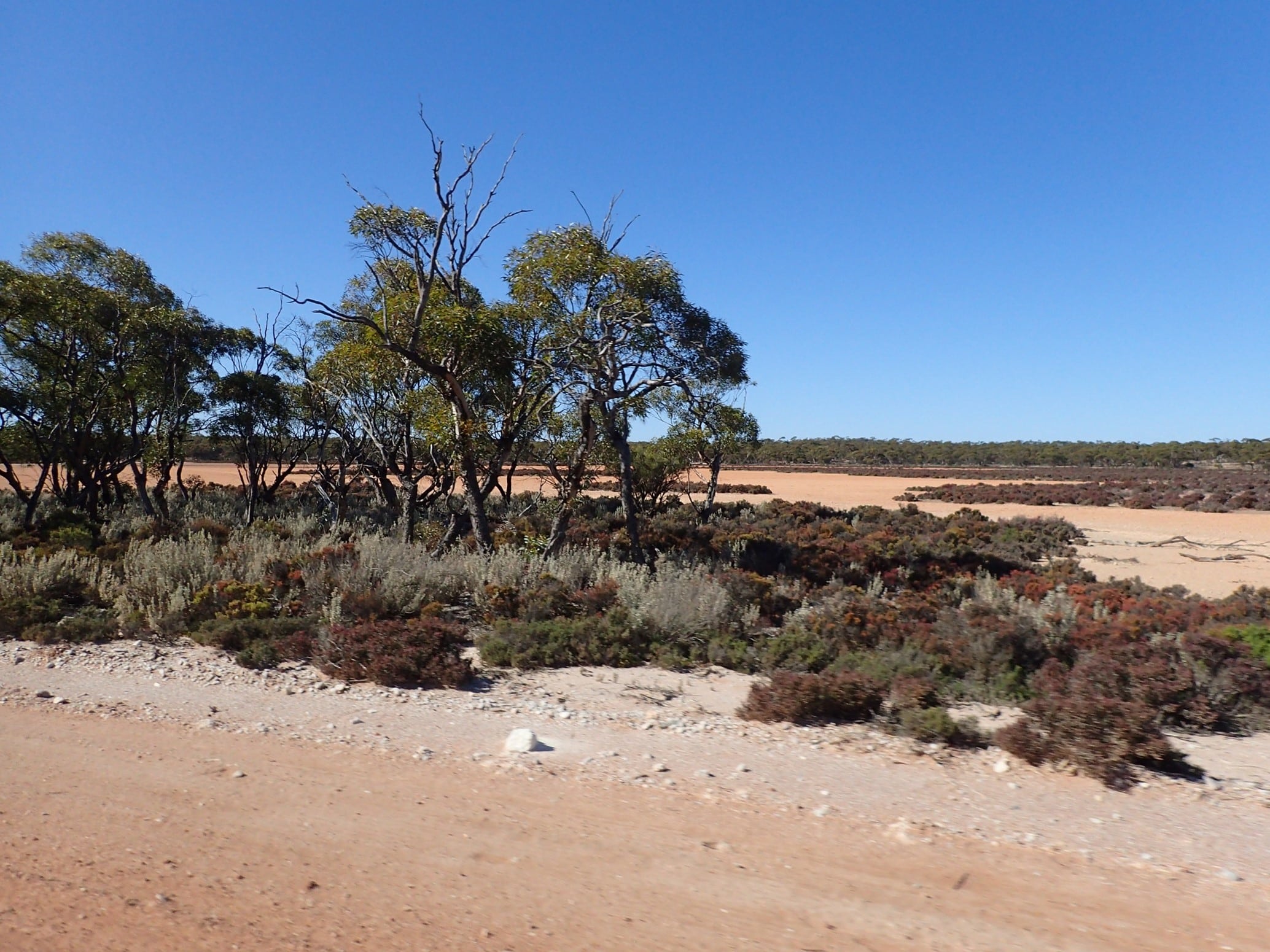
The next day we returned to the memorial. The monuments honour the work of Goog and his son, Martin (Dinger), to construct the track. From here we headed north facing the challenge of larger sandhills as we entered Yellabinna Regional Reserve. Many of the sandhills had been dug up by the spinning wheels of vehicles in a hurry and with high tyre pressures. In contrast we took our time navigating the wombat holes in low range second gear with locked diffs. Wildflowers dotted the mallee scrub and red sand dunes.
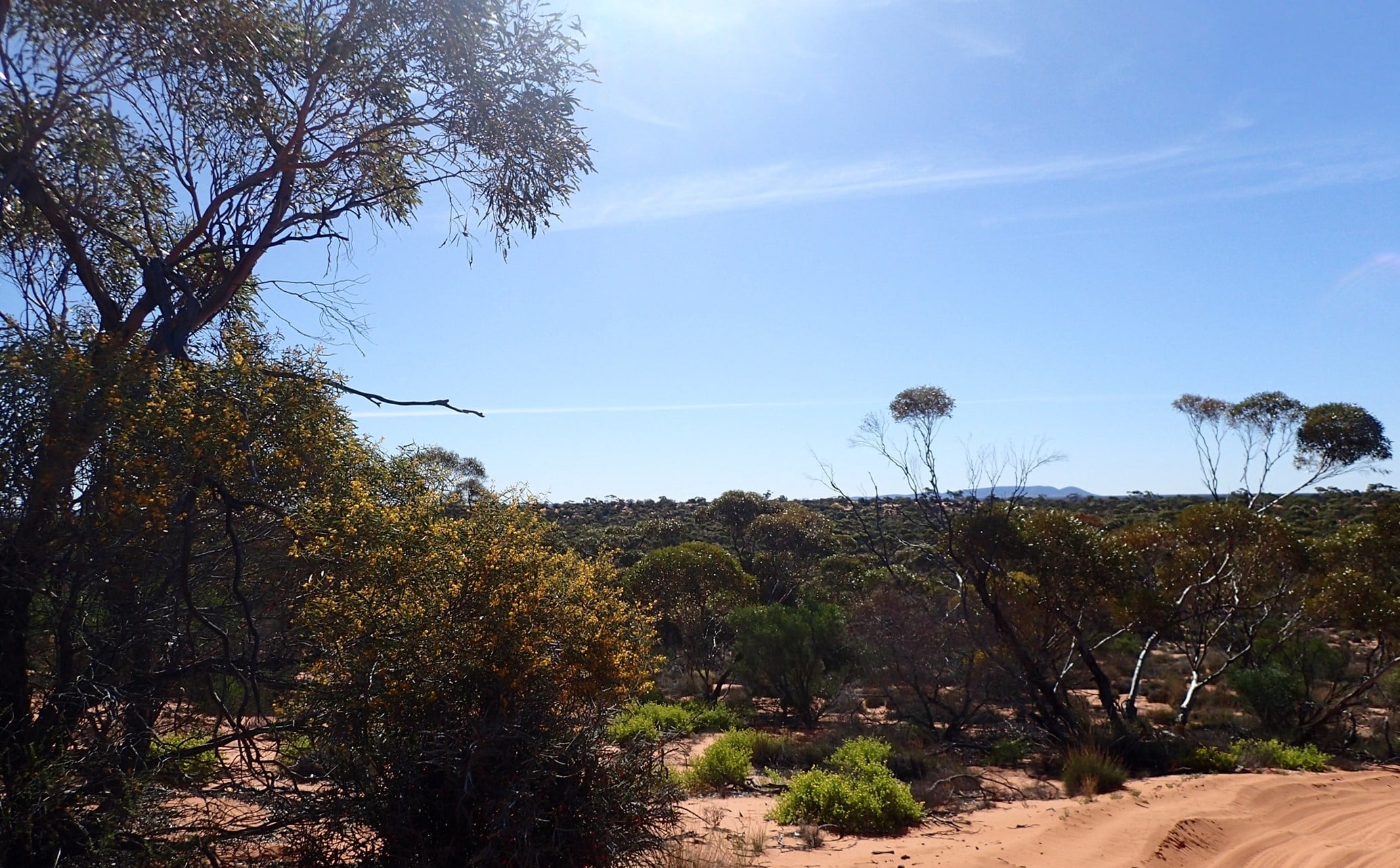
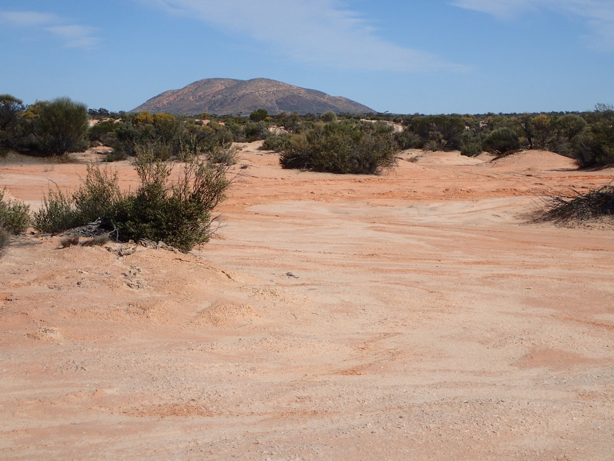
The sand dunes were becoming higher and softer but glimpses of Mt Finke could be seen on the crests of the highest dunes, giving us something to aim for. Larger gum trees appeared amongst the scrub. It was around 3.00pm when we made camp at Mt Finke approximately 6km west of the track. While the campground is large and flat, there are no facilities.
The walking track up Mt Finke was steep and covered with loose rocks but the views from the top were well worth the climb. Wildflowers dotted the landscape. The group came together with an evening campfire.

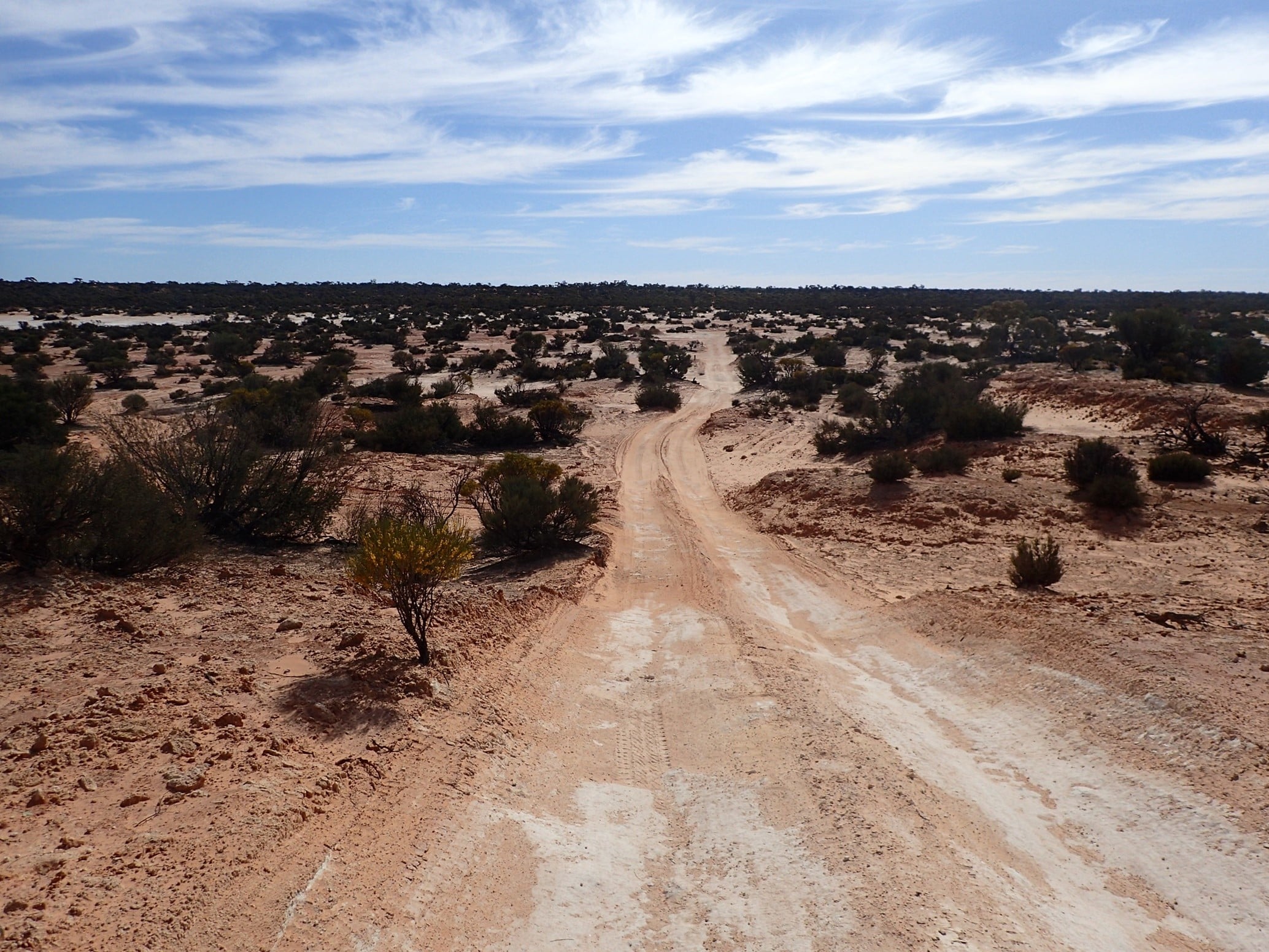
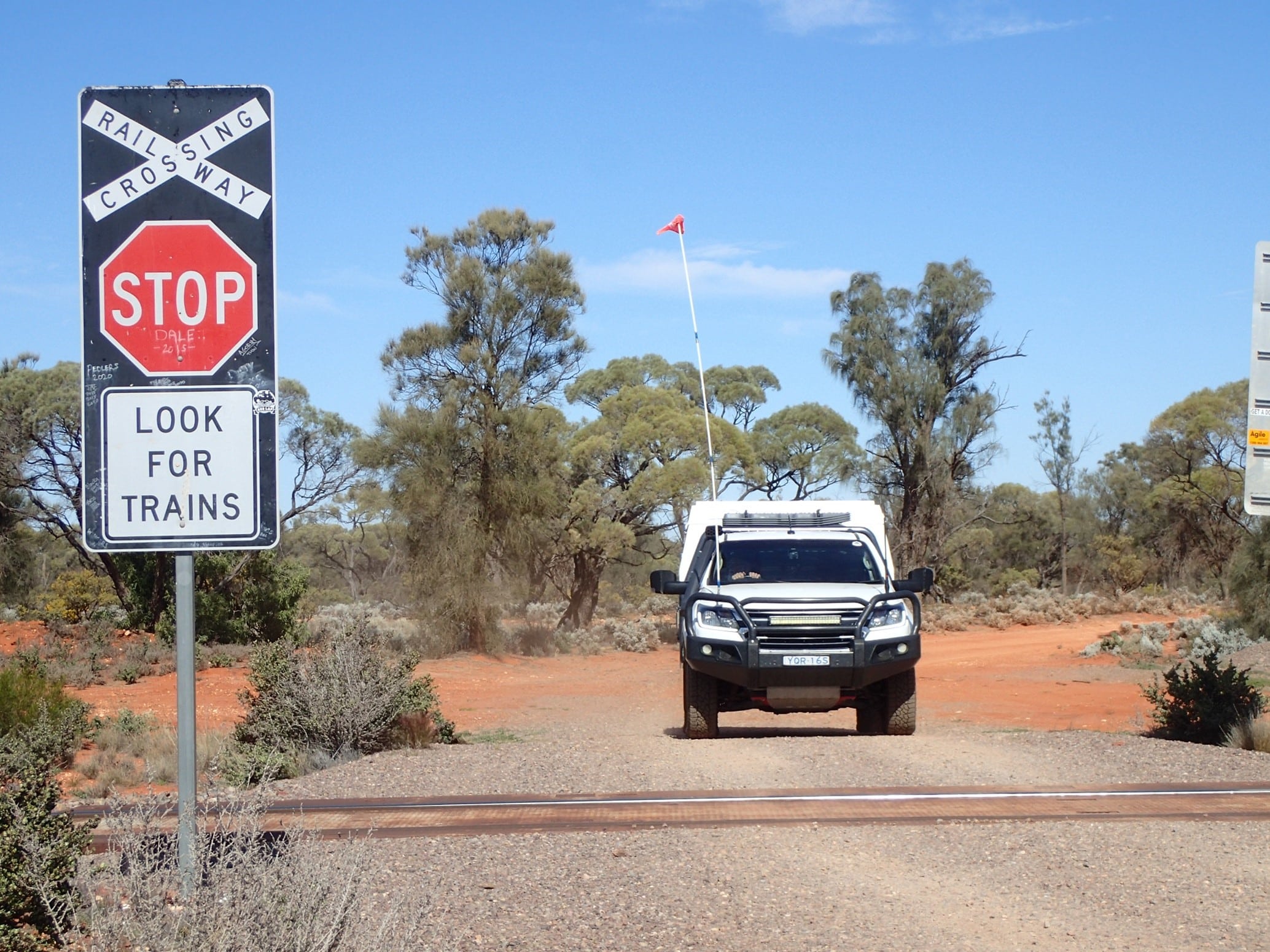
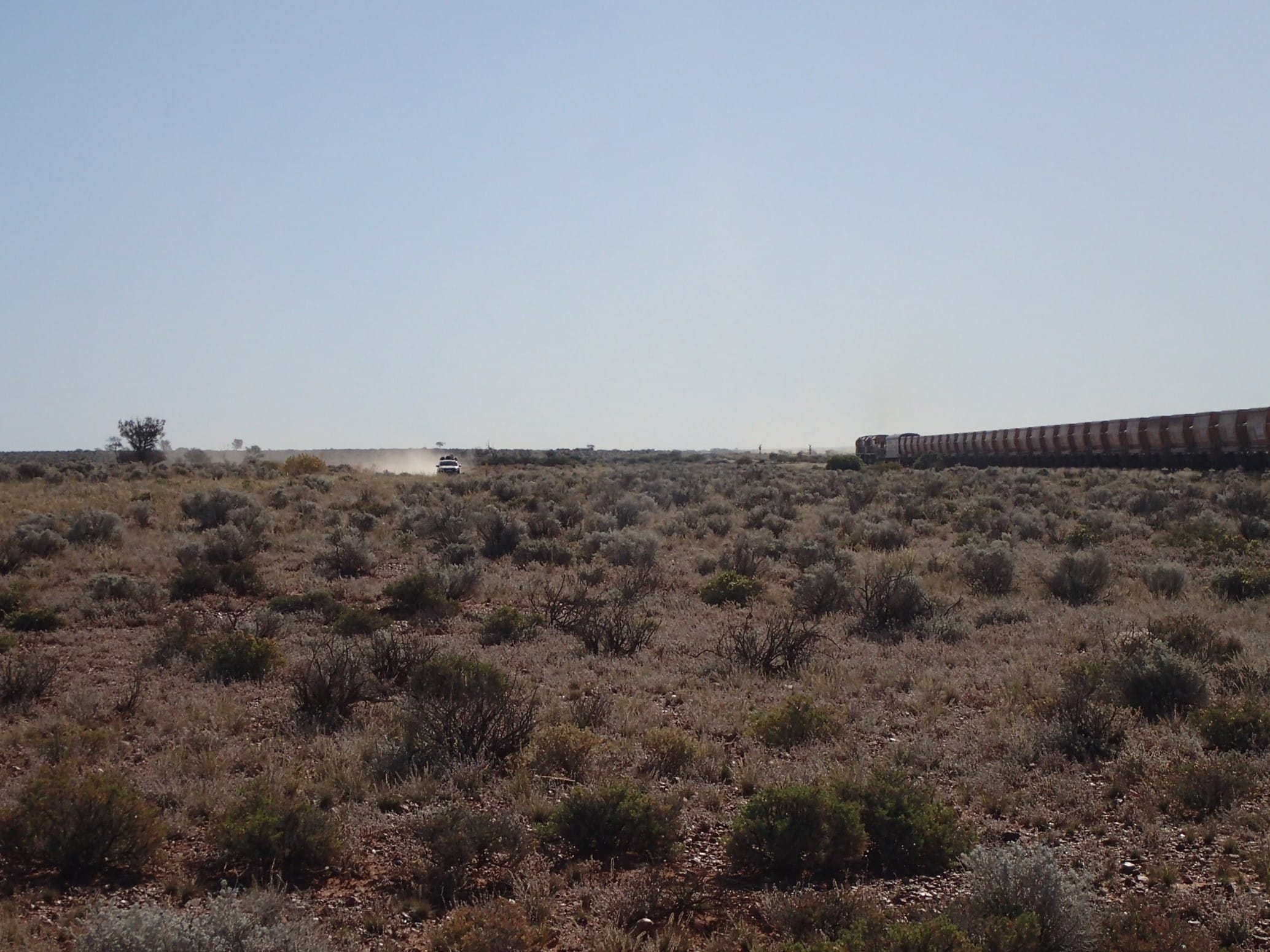
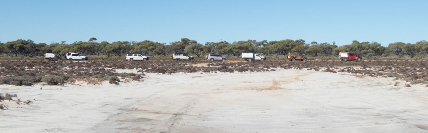
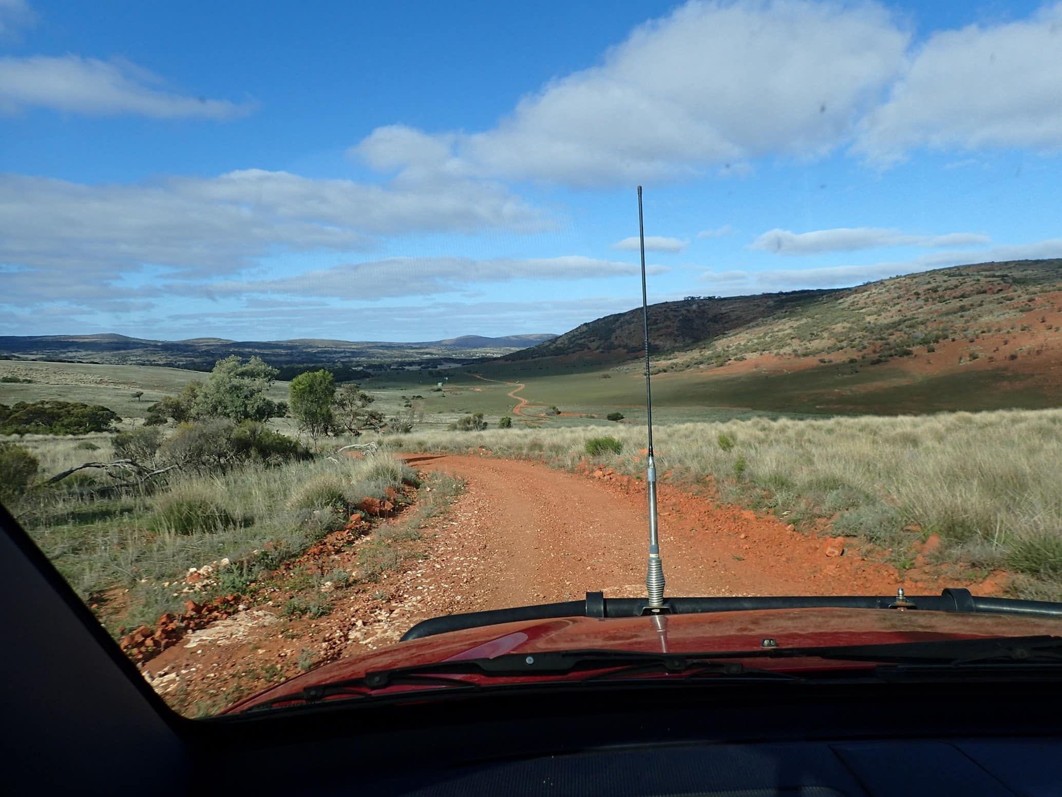
It was a mid-morning departure from Mt Finke, stopping a short time later at some salt pans. Care needs to be taken here as driving on the salt pan could lead to a sunken vehicle. We still had 40km of sandhills to navigate before the end of the track. The track became more interesting with a mix of sand, dunes, rocks and rock platforms. Crossing the East West Trans-Australian railway signified the end of the Goog’s Track.
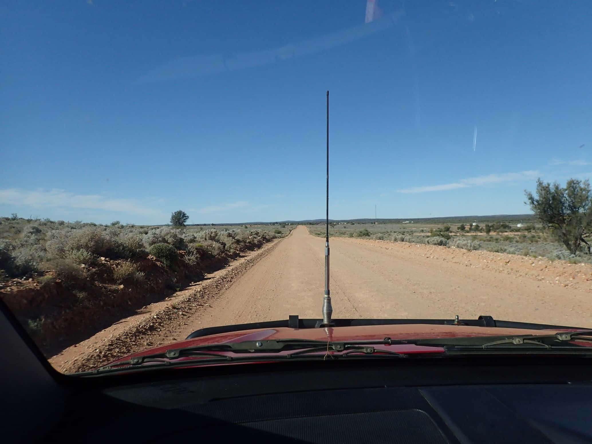
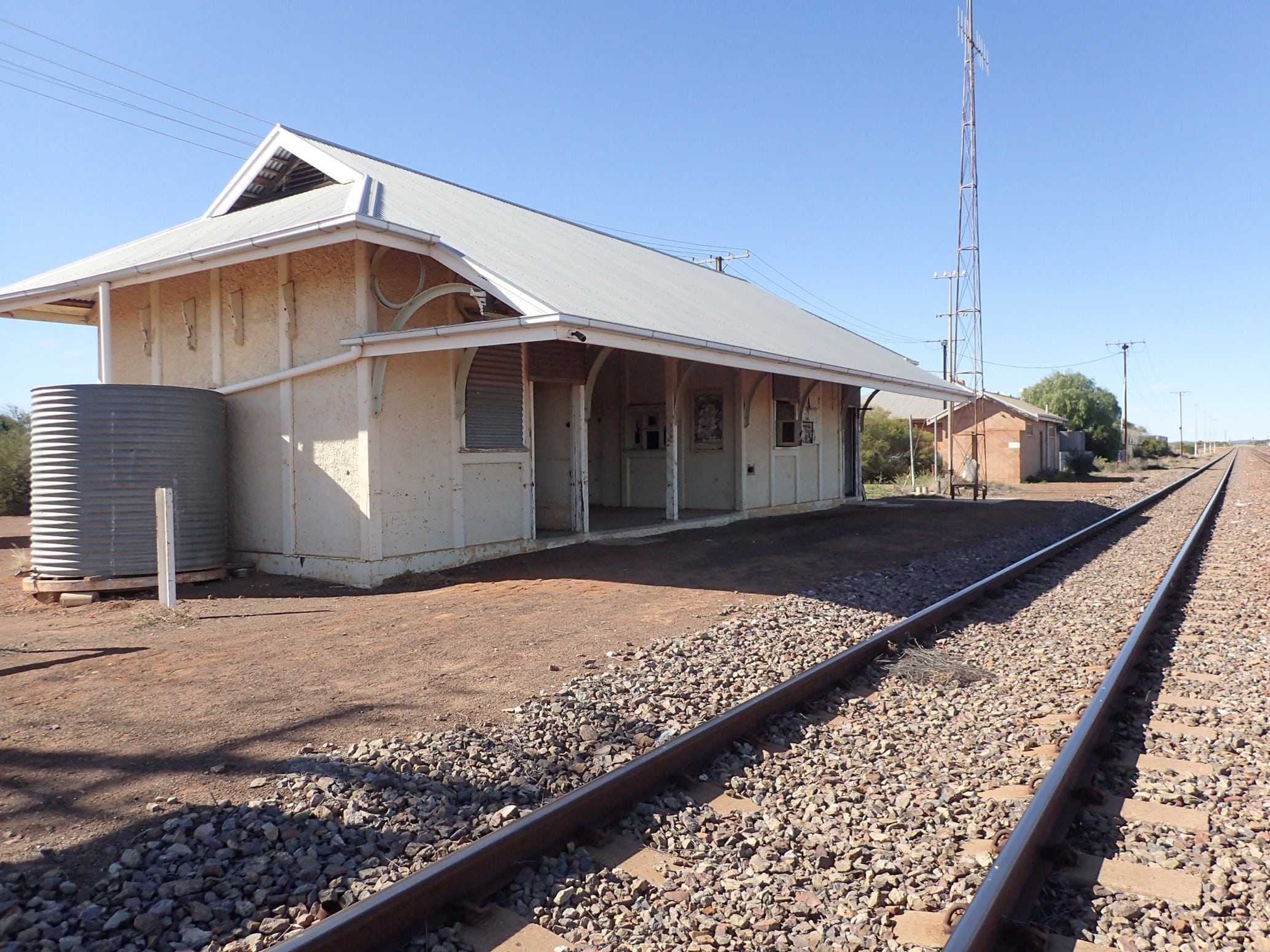
Turning east we hit the gravel super-highway and followed the dog fence and railway line to Tarcoola. The Tarcoola of Goog’s time was a busy gold mining town but today it has no permanent residents. The nearby gold mine is still operating. We stopped at the original railway station, stretching our legs with a game of paddymelon soccer.
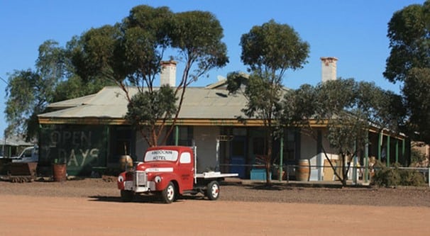
Continuing east across many railway crossings, we came to our overnight camp at Kingoonya where we were made most welcome. We refuelled, showered, and met at the pub for a drink and dinner.
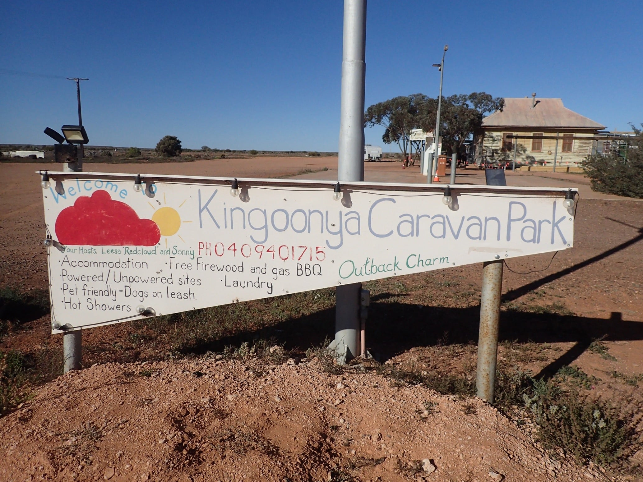
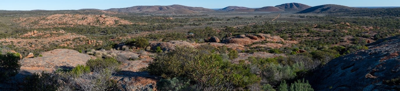
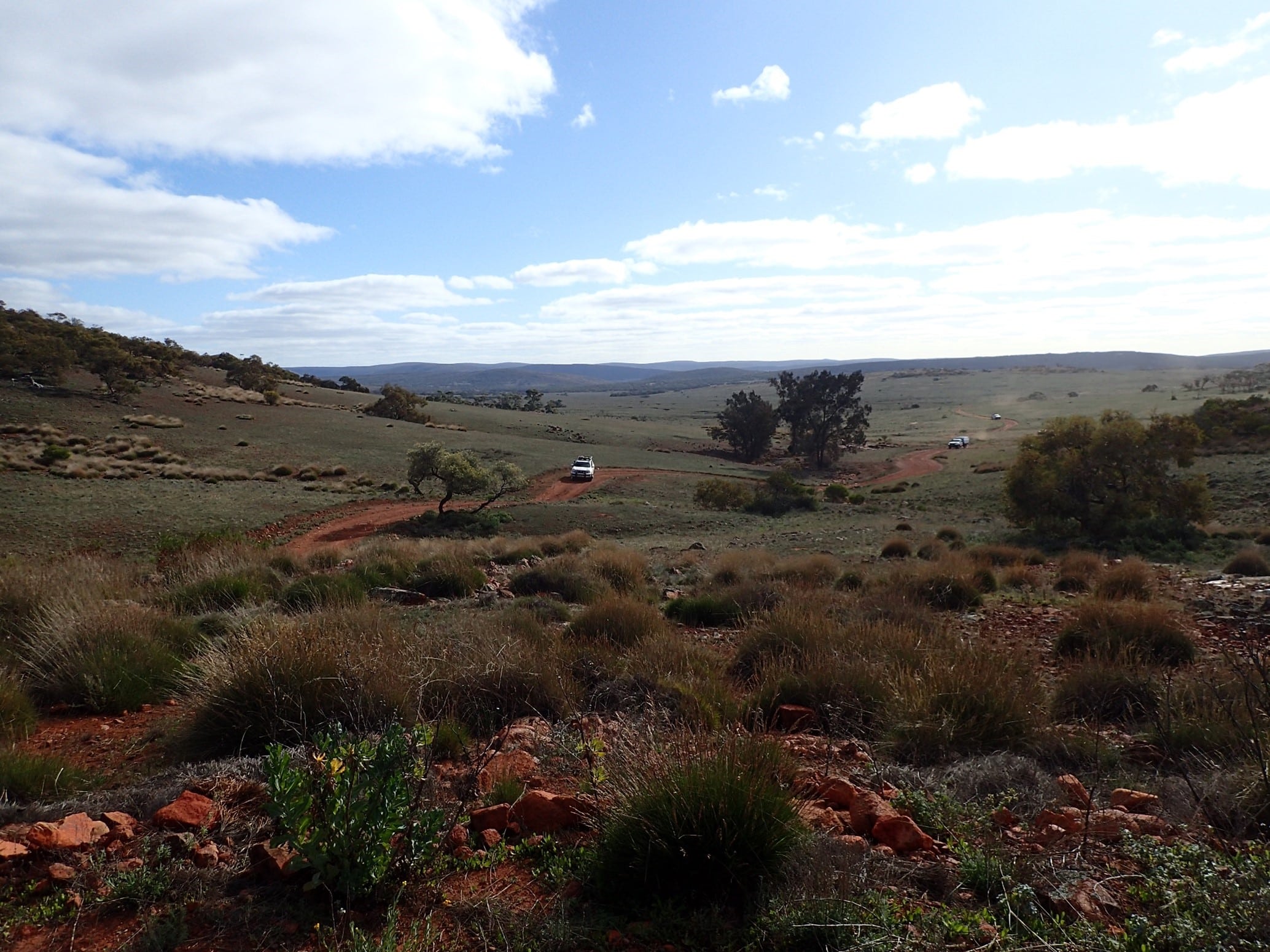
Following our morning coffee at the old schoolhouse we journeyed south towards Hiltaba Nature Reserve. The journey took us through some beautiful countryside with range views, salt pans, wildflowers, wombats, emus with chicks and farming ruins.

Hiltaba was originally pastoral land leased in 1868 in the Gawler Ranges. It was purchased in 2012 by the Nature Foundation and is now stock free with the aim to allow the native vegetation and wildlife to return free from feral pests.
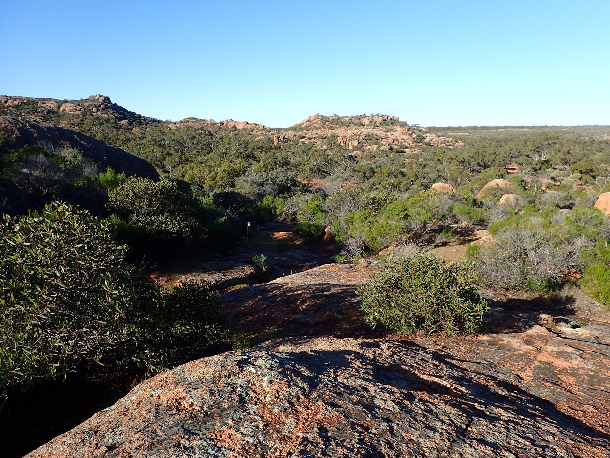
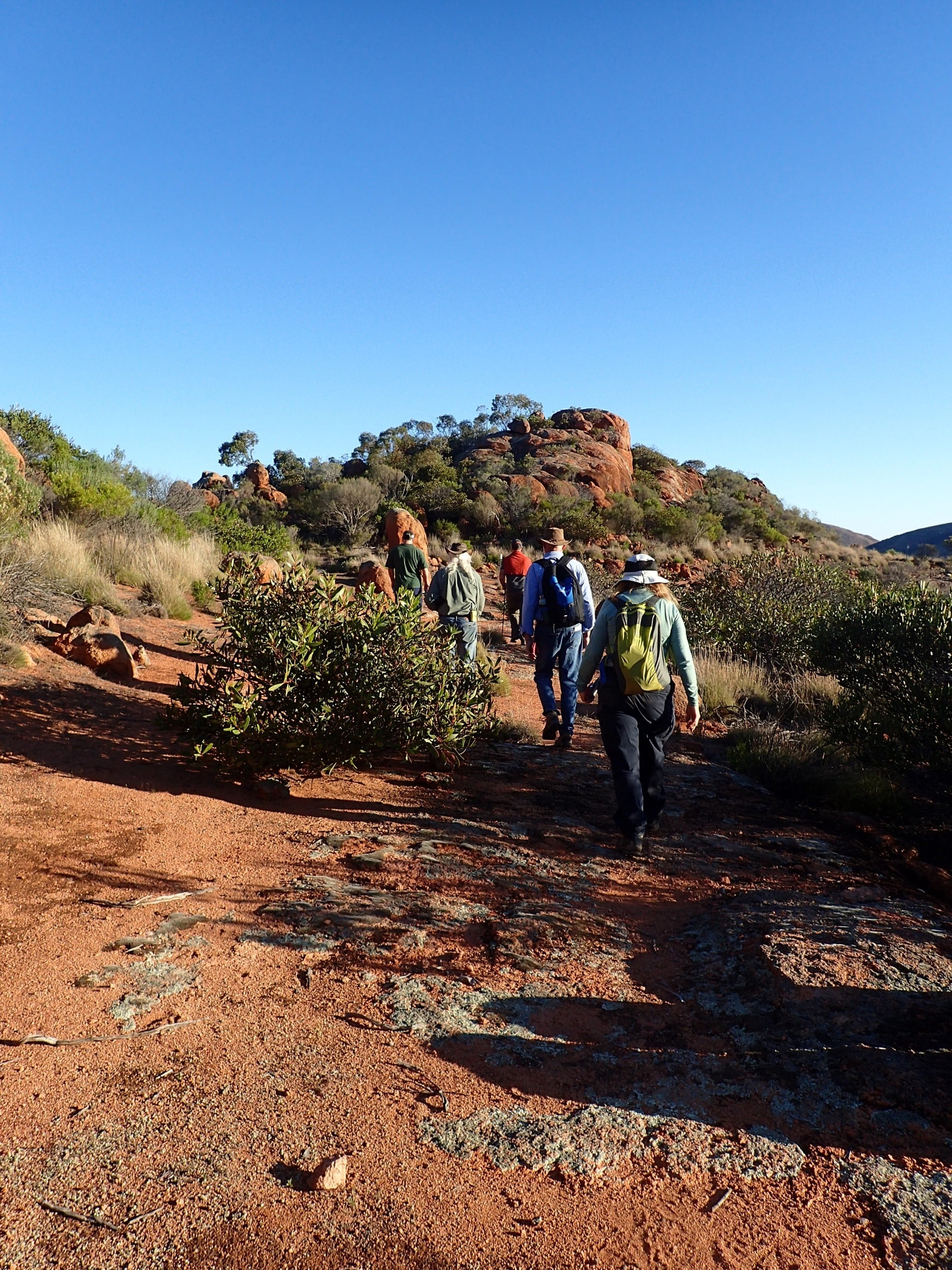
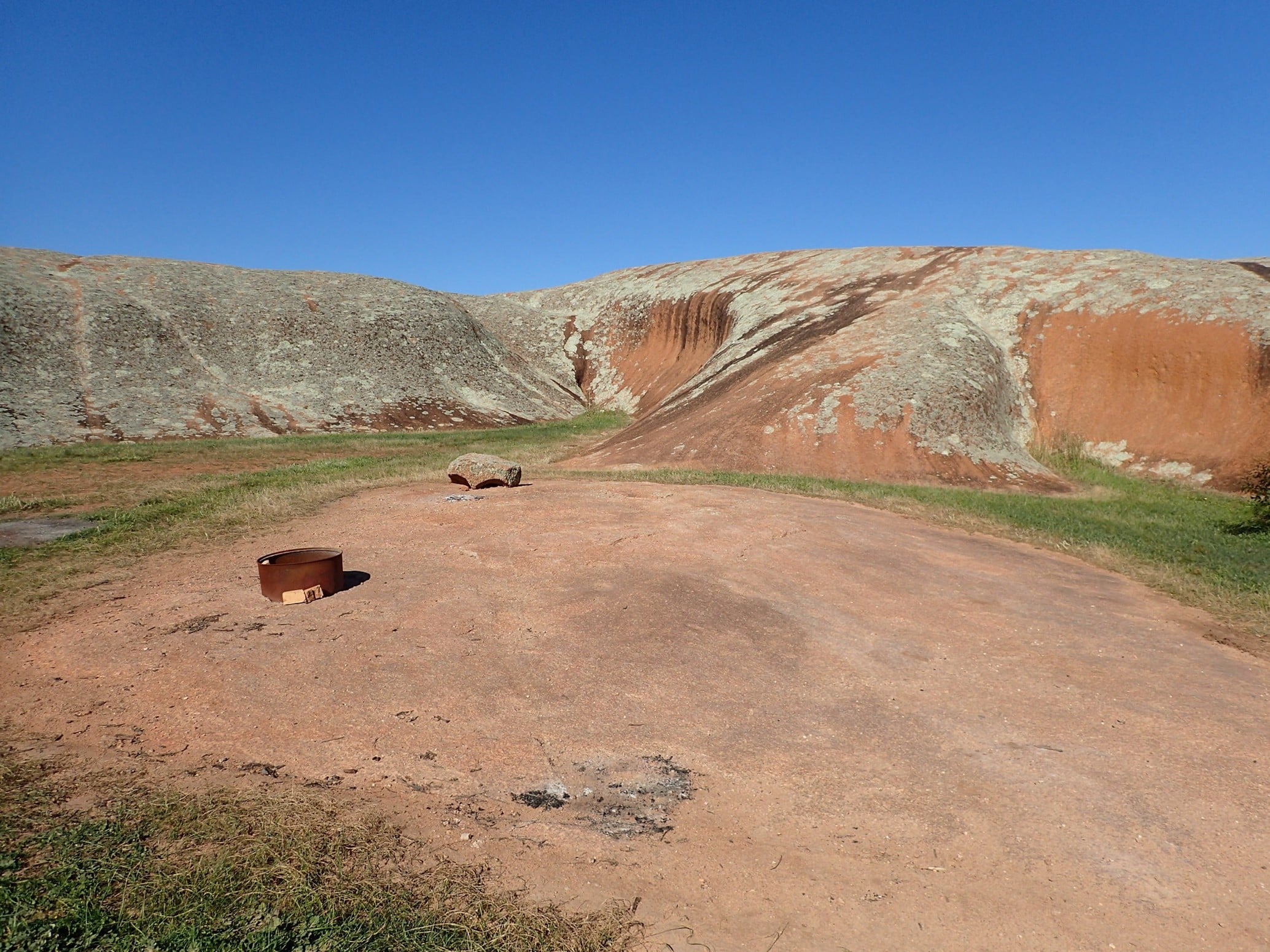
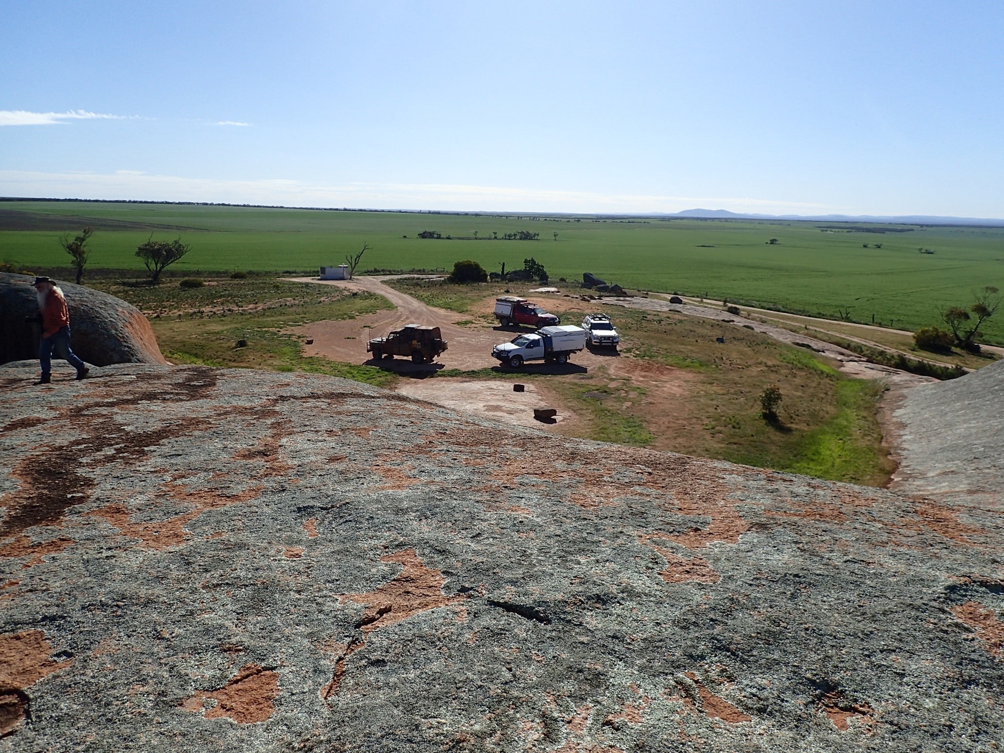
The Pretty Point campground in Hiltaba Nature Reserve was ‘pretty’ and protected us from the windy night. Taking advantage of the track head at the campsite, the group took on the Betty and Bob Lewis 2km walk. Meandering through stunning granite boulders the walk provides views across the rocky landscape towards Mt Hiltaba and Barber Hill.
A campfire rounded off another enjoyable day on the track, made better with a presentation by Dolph on his astrophotography. An extended trip to Hiltaba to explore the nature drives and walking trails is recommended.
The non-sighting of yellow-footed rock wallabies at Mt Friday in the early morning was disappointing for Margaret and Linden, but after another walk along the Lewis trail we departed Hiltaba heading into the Gawler Ranges National Park. Gravel road conditions were excellent with many emus sighted alongside.

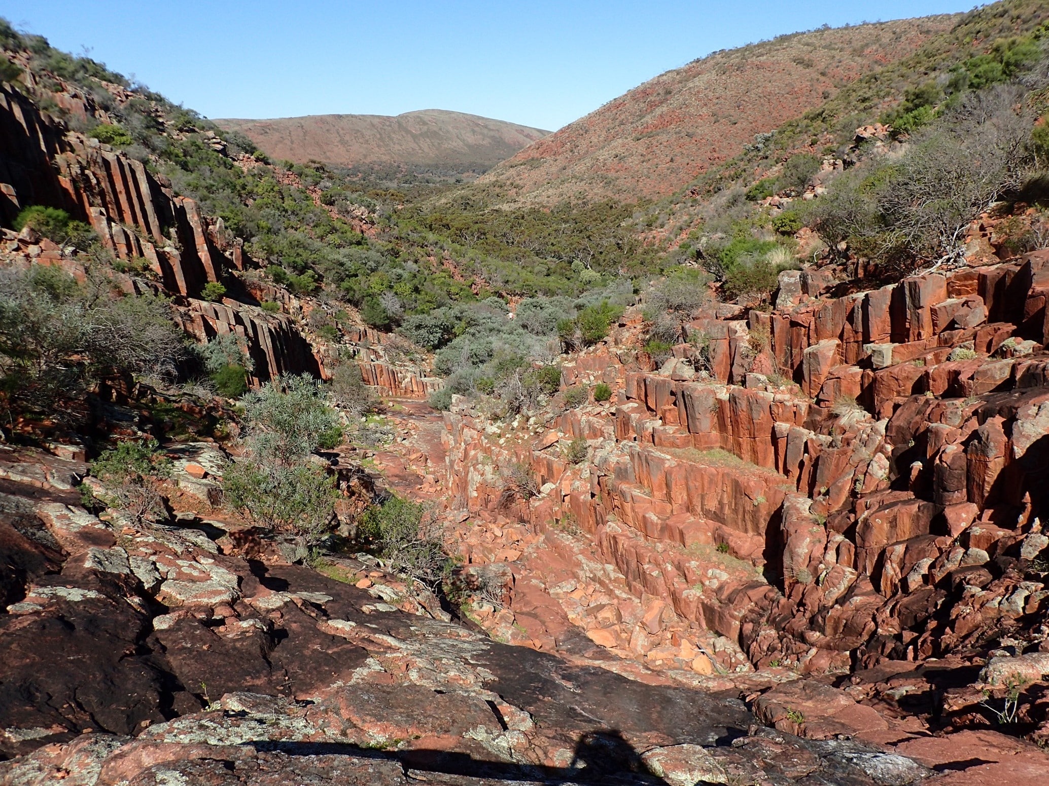
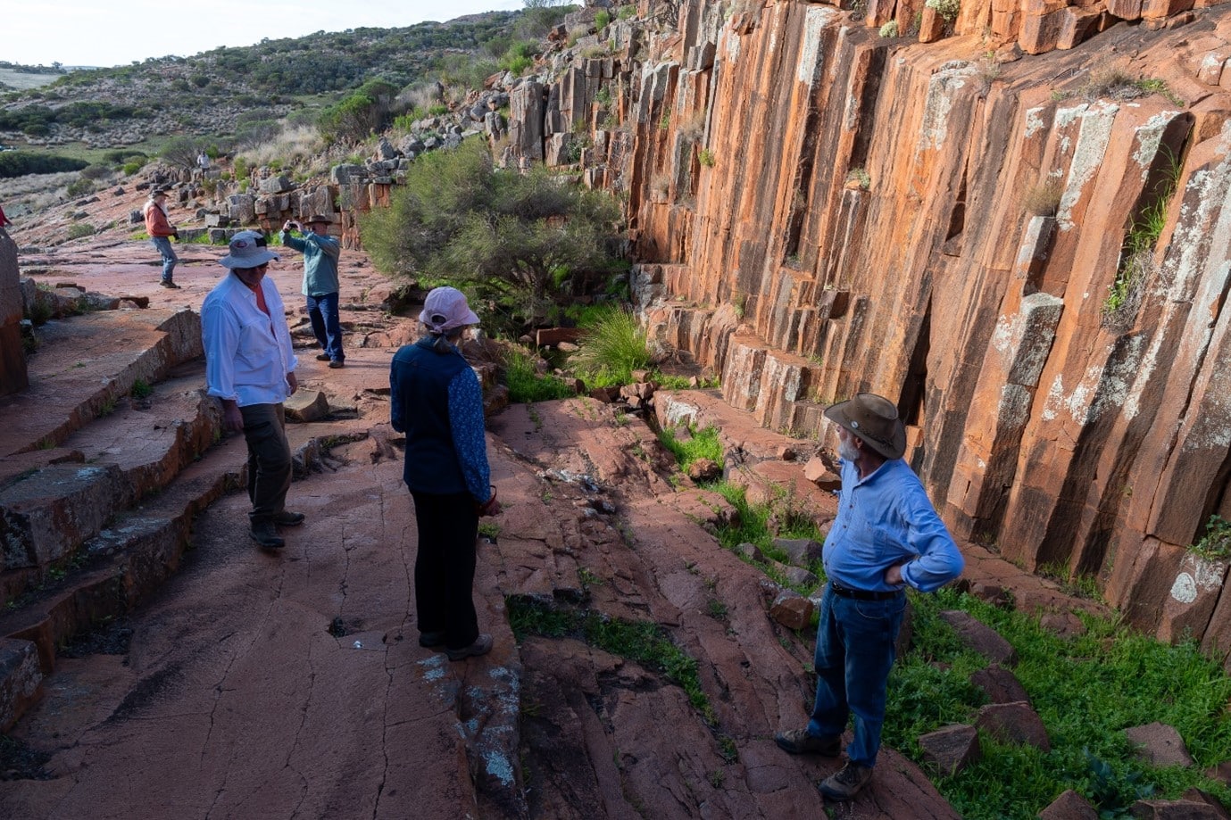
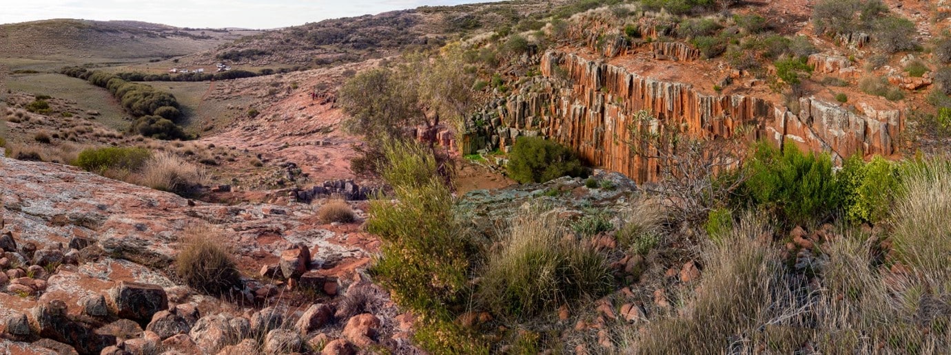
We journeyed south through the park to the Organ Pipes. There is a short walk through gums which opens up to a mass of octagonal rock formations through which a creek would flow after rain. The scene is spectacular and we spent some time exploring the hillsides and creek. Returning north we set up camp at the spacious Scrubby Peak campground nestled amongst the mallee trees.

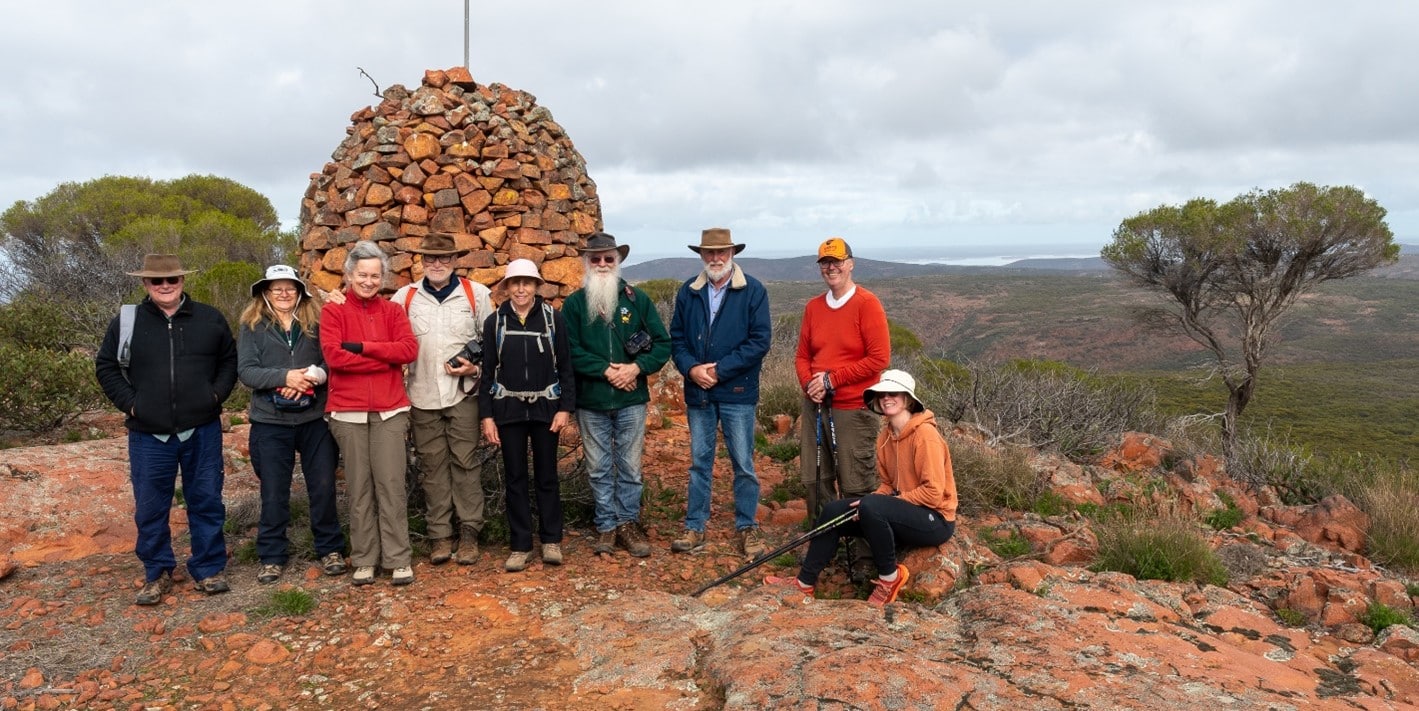
Overlooking the campground is Scrubby Peak which was begging to be climbed. The 2km track is steep in sections and rocky. Magnificent views greet you at the peak. Once again wildflowers were blooming along the track.
The group enjoyed another campfire that evening.
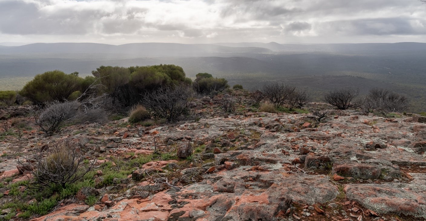

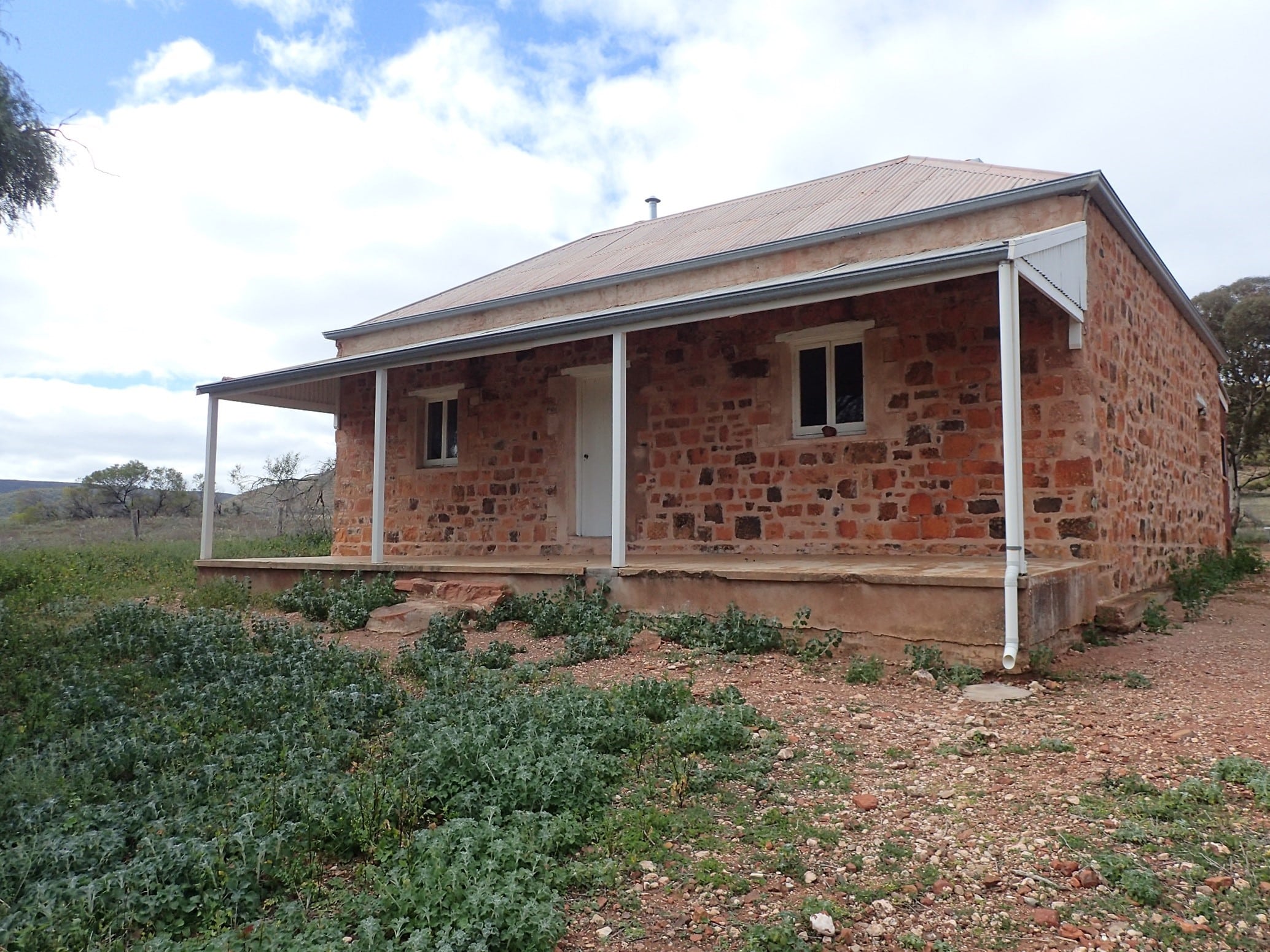
Next day the group ascended Scrubby Peak. Some found the walk challenging but worth the effort. Returning to camp around 11.00am we headed south through fields of orchids on Yardea Road and then turned east on the Old Paney Scenic Route for lunch at Old Paney homestead. A display in the homestead and historic walk outlines the history, exploration and life challenges associated to the 1860s pastoral leases. Further along the track the group walked to Policemans’ Dam. The police had a network of stone huts allowing them to patrol the ranges to support the pastoralists. Overstocking, drought, depression and high transportation costs saw the pastoralists leave the land in the early 20th century.
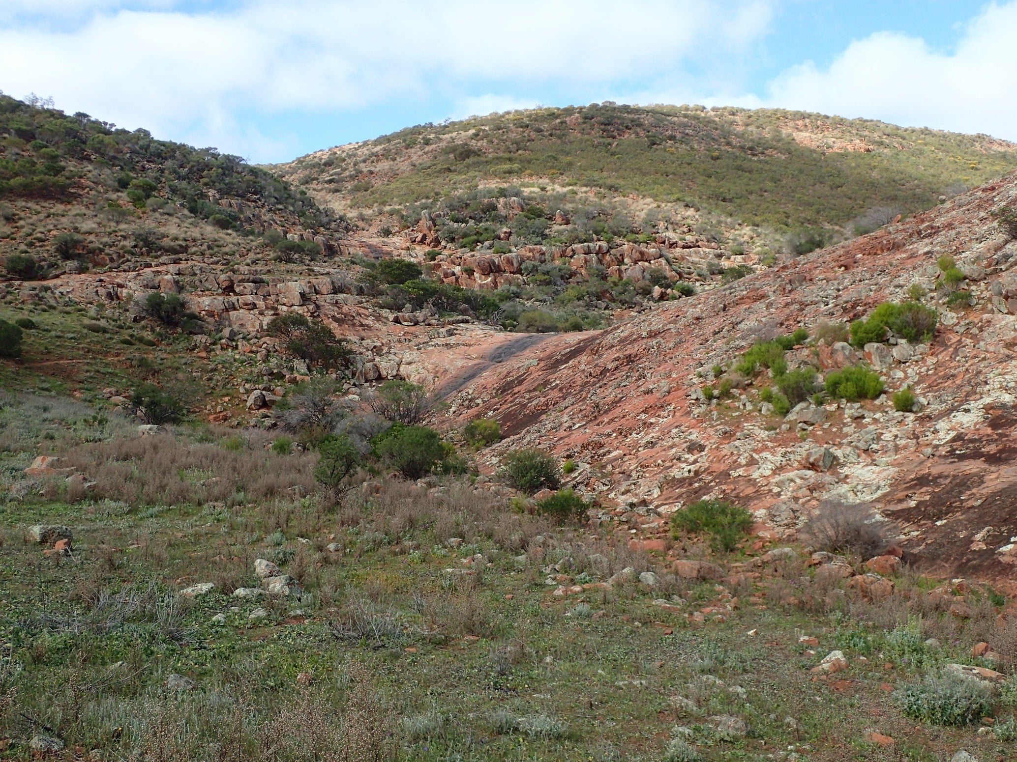
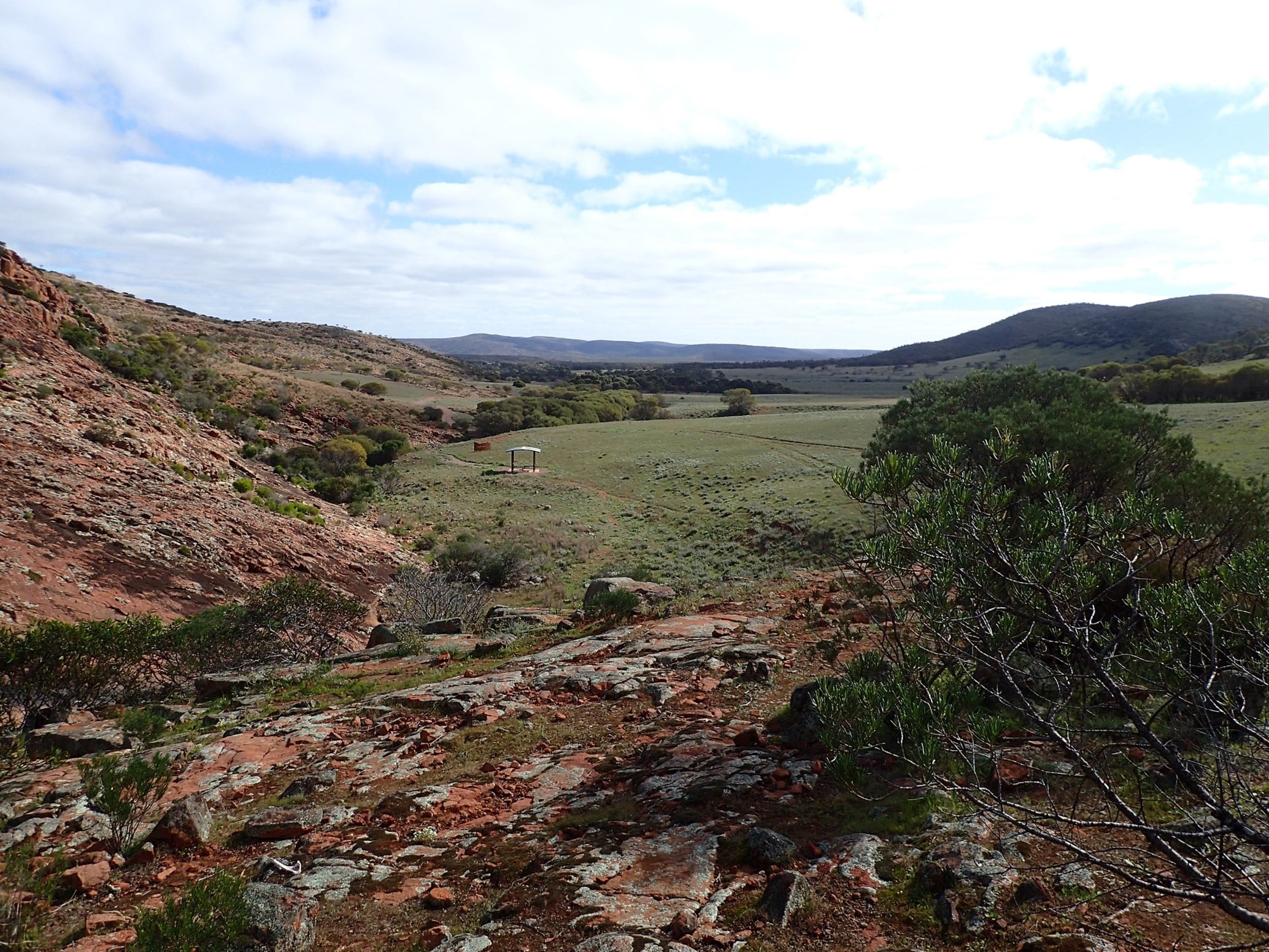
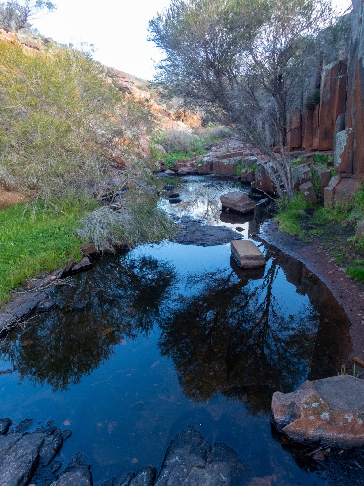
Back on the track we drove north on the 4WD Matters Track, connecting with the LP Track. These winding tracks were a highlight of the day with changing landscapes and views. A stop and short walk at Mirica Falls once again showcased the volcanic rock formations typical of the Gawler Ranges. While there was no water flowing over the falls, there was water in the shaded rockholes. Today was another day with many sightings of emus and their chicks.
Camp was at Kolay Hut in the shadow of Mt Fairview. The group relaxed with chef Dolph baking scones for all to enjoy, and Margaret finding a quiet spot to observe some yellow-footed rock wallabies. Tonight was the final campfire for the trip.
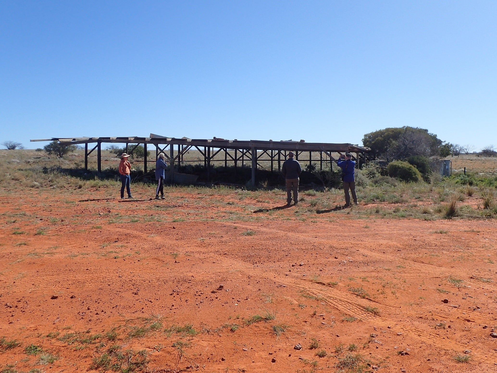
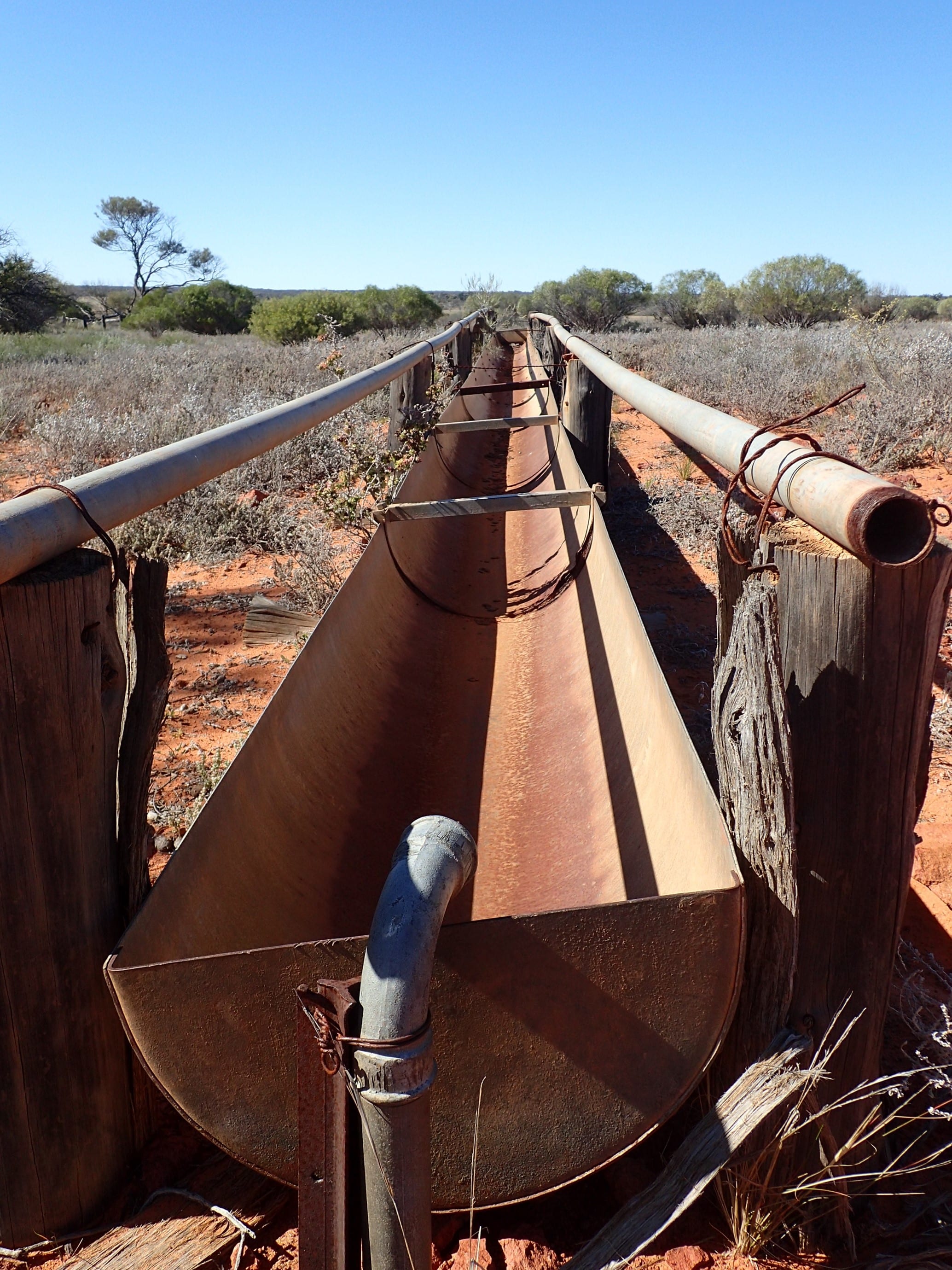
Early morning saw us return to Mirica Fall to complete the Fairview Walk. The walk follows the gully up the rockface providing views of the more immediate countryside. The healthy rockpools were home to tadpoles and water plants. To see the falls with water would be spectacular. Goats and emus watched our progress along the hill. Heading south our next stop was the shearing shed. The shed has been updated with information, a new floor, beams and roof. Outside of the shed we discovered the holding pens, sheep dip, and race – all so typical of an Australian woolshed.


We continued south out of the park with a quick visit to Wattle Grove to see the wave formation rock. This would be a pleasant spot to camp, finding a sheltered position on one side of the huge rocks. Lock Caravan Park was our destination for the night with a final group dinner at the local pub.
We’d like to thank all the trip participants for their friendship, support, stories, humour and positive attitude.
[tabs slidertype=”images” auto=”yes”] [imagetab width=”undefined” height=”undefined”]https://staging.lrc.org.au/wp-content/uploads/2024/02/Picture110.jpg[/imagetab] [imagetab width=”undefined” height=”undefined”]https://staging.lrc.org.au/wp-content/uploads/2024/02/Picture111.jpg[/imagetab] [imagetab width=”undefined” height=”undefined”]https://staging.lrc.org.au/wp-content/uploads/2024/02/Picture112.jpg[/imagetab] [imagetab width=”undefined” height=”undefined”]https://staging.lrc.org.au/wp-content/uploads/2024/02/Picture113.jpg[/imagetab] [imagetab width=”undefined” height=”undefined”]https://staging.lrc.org.au/wp-content/uploads/2024/02/Picture114.jpg[/imagetab] [imagetab width=”undefined” height=”undefined”]https://staging.lrc.org.au/wp-content/uploads/2024/02/Picture115.jpg[/imagetab] [imagetab width=”undefined” height=”undefined”]https://staging.lrc.org.au/wp-content/uploads/2024/02/Picture116.jpg[/imagetab] [imagetab width=”undefined” height=”undefined”]https://staging.lrc.org.au/wp-content/uploads/2024/02/Picture117.jpg[/imagetab] [imagetab width=”undefined” height=”undefined”]https://staging.lrc.org.au/wp-content/uploads/2024/02/Picture118.jpg[/imagetab] [/tabs]