Alpine Antics 3 December – 6 December 2020
Participants
| Kevin & Karen Phillips | Mazda BT-50 |
| Sue Alexander | Toyota FJ |
| Tom & Ann de Jongh | Mitsubishi Triton |
| Kaylene & Paul Koppe | Land Rover Discovery |
| John Reis | Land Rover Discovery |
| John & Margaret Cooper | VW Amarok |
| Garry & Kerryn Blagdon | Land Rover Discovery |
| Geoff & Gab Hill | Nissan Patrol |
| Rick & Megan Creech | Toyota Prado |
| Ann Gibbs-Jordan | Isuzu MU-X |
| Eric & Paulette Rigter | Toyota Prado |
| Geoff Banbury | Toyota Troopy |
Day 1: 3 December 2020
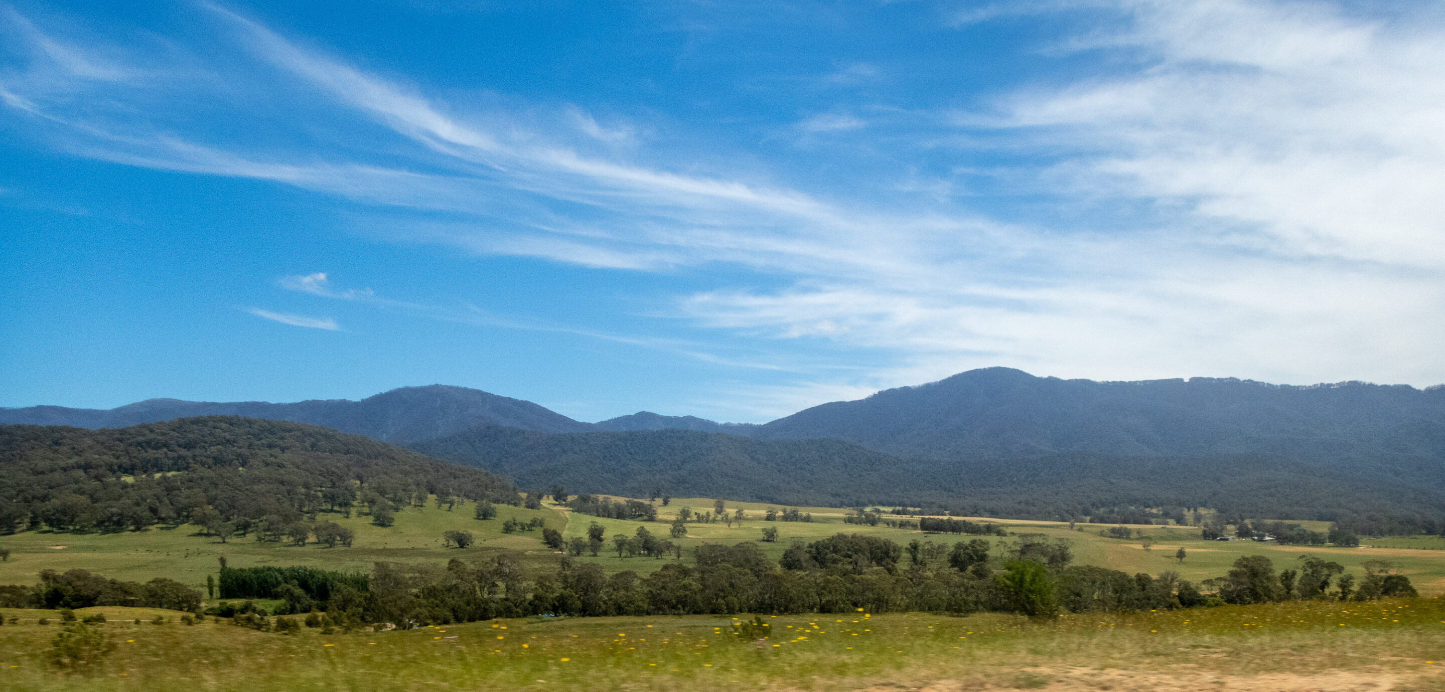
It was an 8.30am start from Williamsdale on the Monaro Highway. Blossom had broken down so Geoff was not able to join us. The convoy headed south to Cooma and on to Jindabyne with an opportunity to refuel. It was not far from Jindabyne before we stopped for morning tea at the Brumby Gin Distillery and Café. The coffee was good and the desserts luscious. The Café is set in gardens dotted the sculptures. The raspberry patch was extensive but unfortunately there was no fruit just yet. (It was also fully fenced and out-of-bounds.) We ate on the verandah with views across the garden with a cool breeze forcing us to don jumpers.
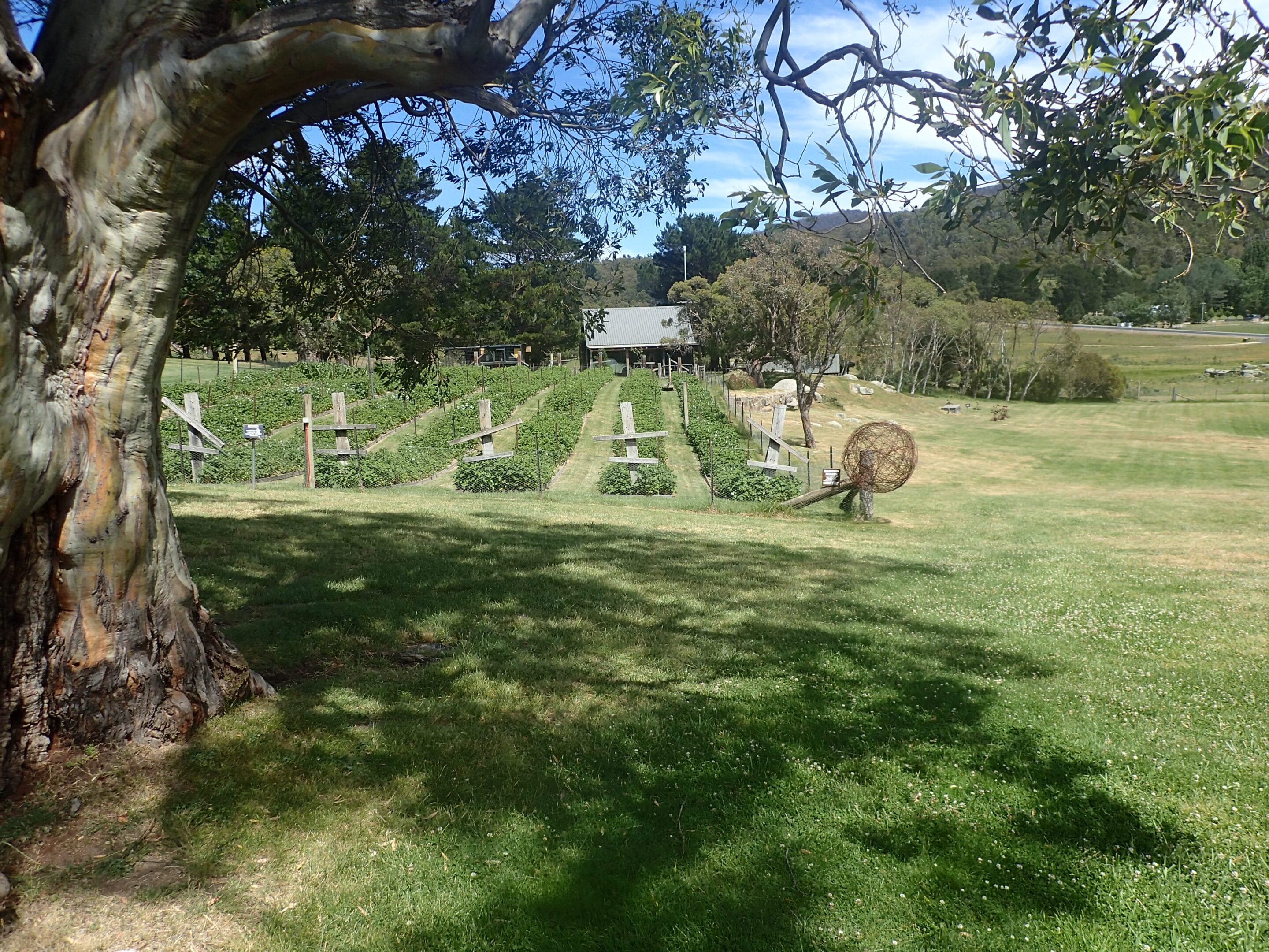
Wild Horse Gin Distillery raspberry patch
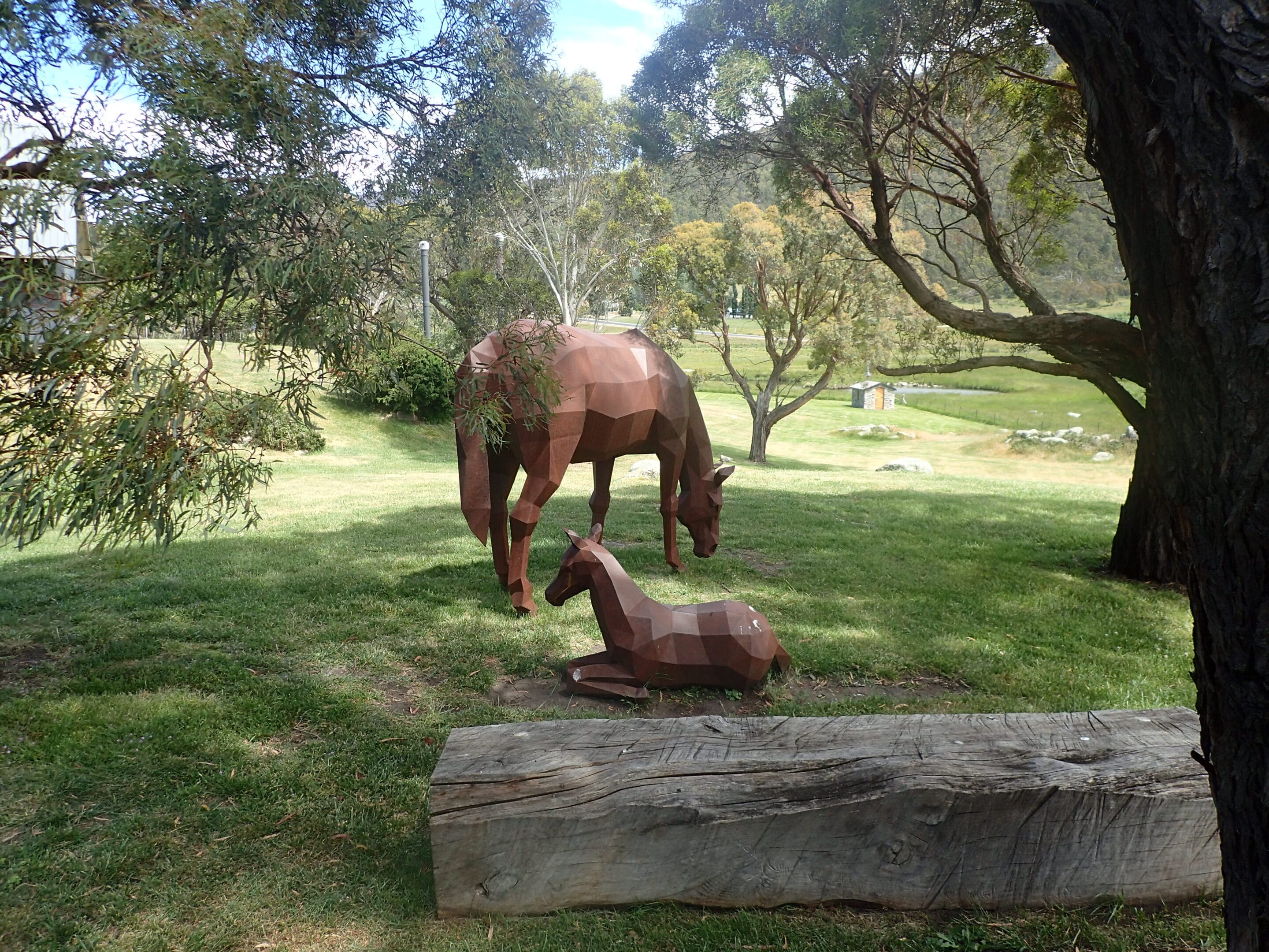
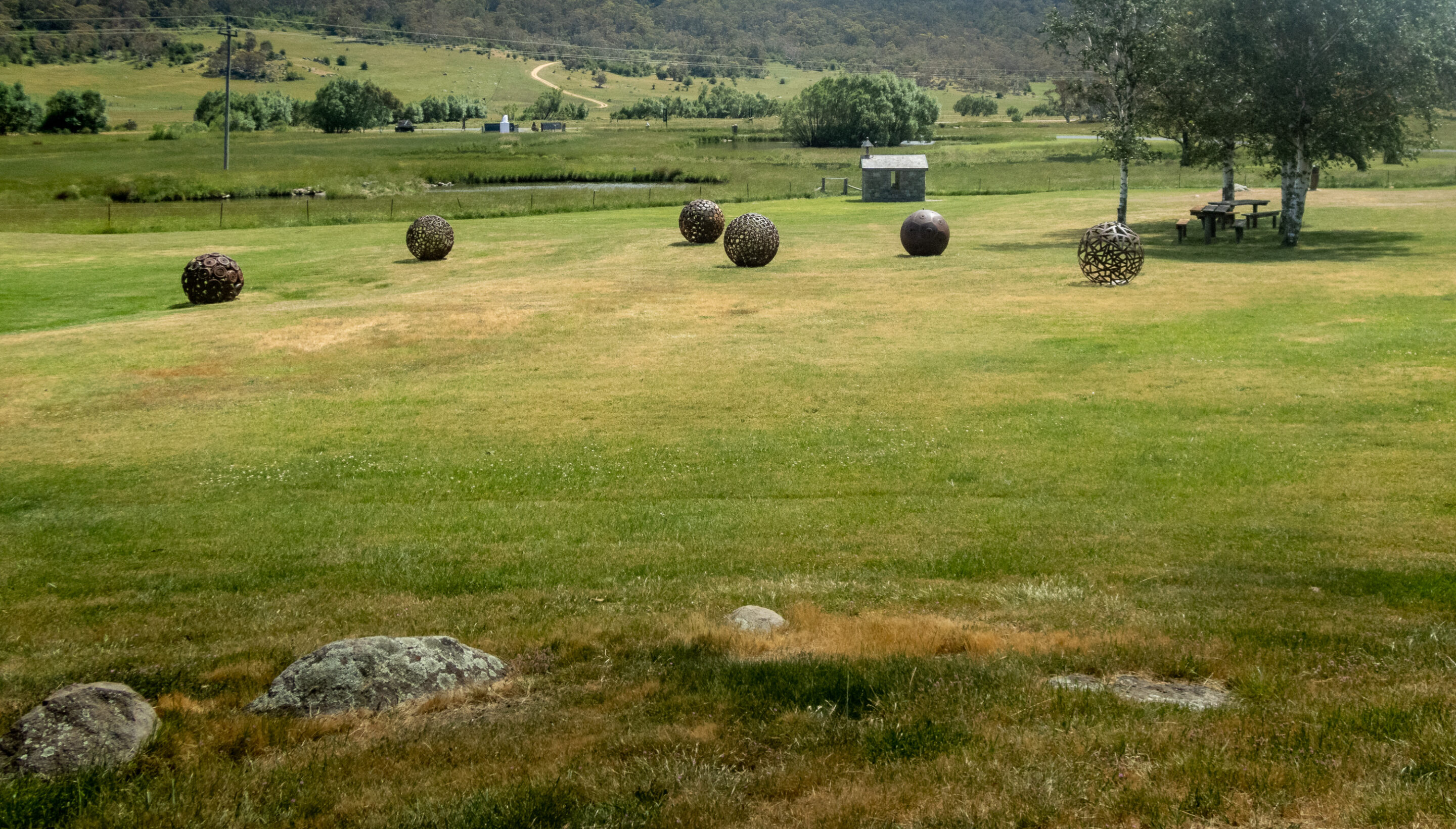
Sculptures in the gardens
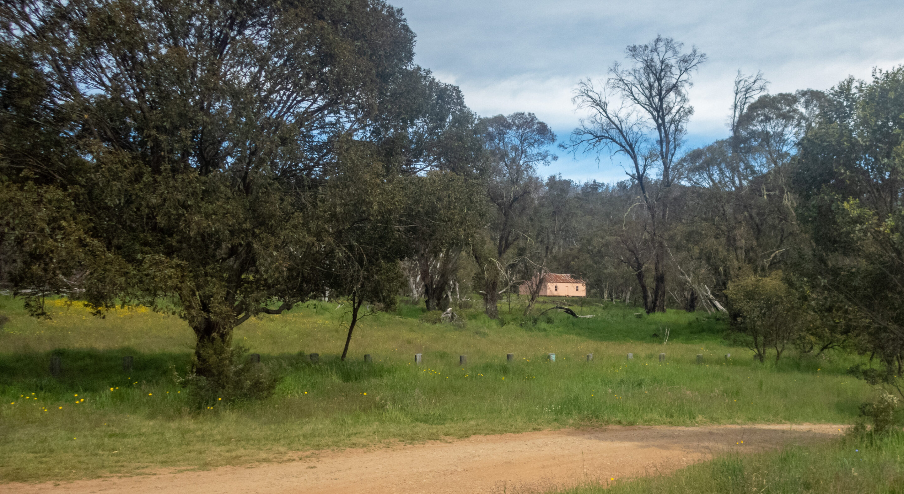
Back on the road we wound our way to Thredbo. Continuing up and then descending the range on the Alpine Way we came to our overnight camp at Geehi. The journey took us through fire damaged forest which is showing no sign of regeneration.
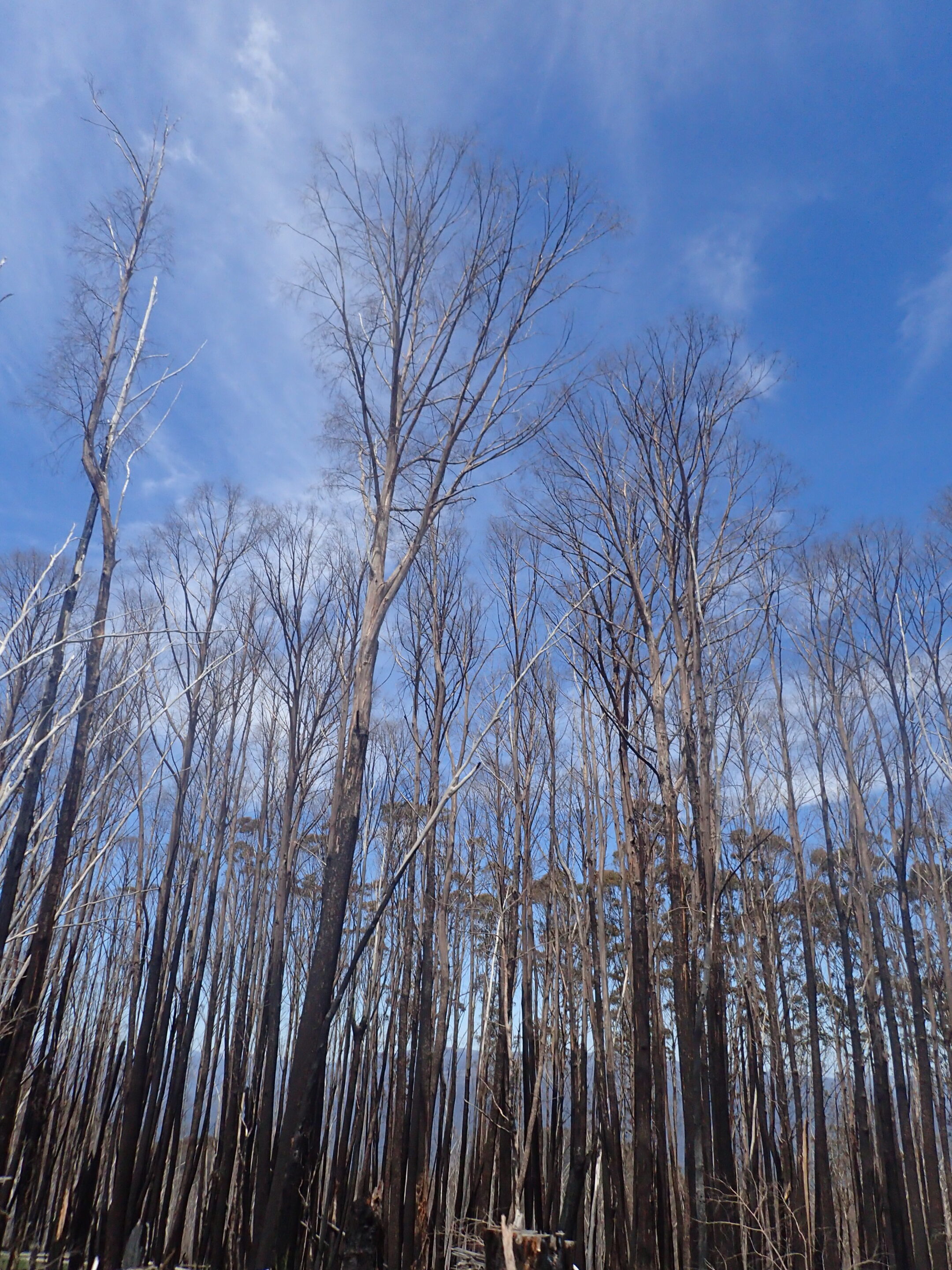
Fire damaged environment in the Snowy Mountains
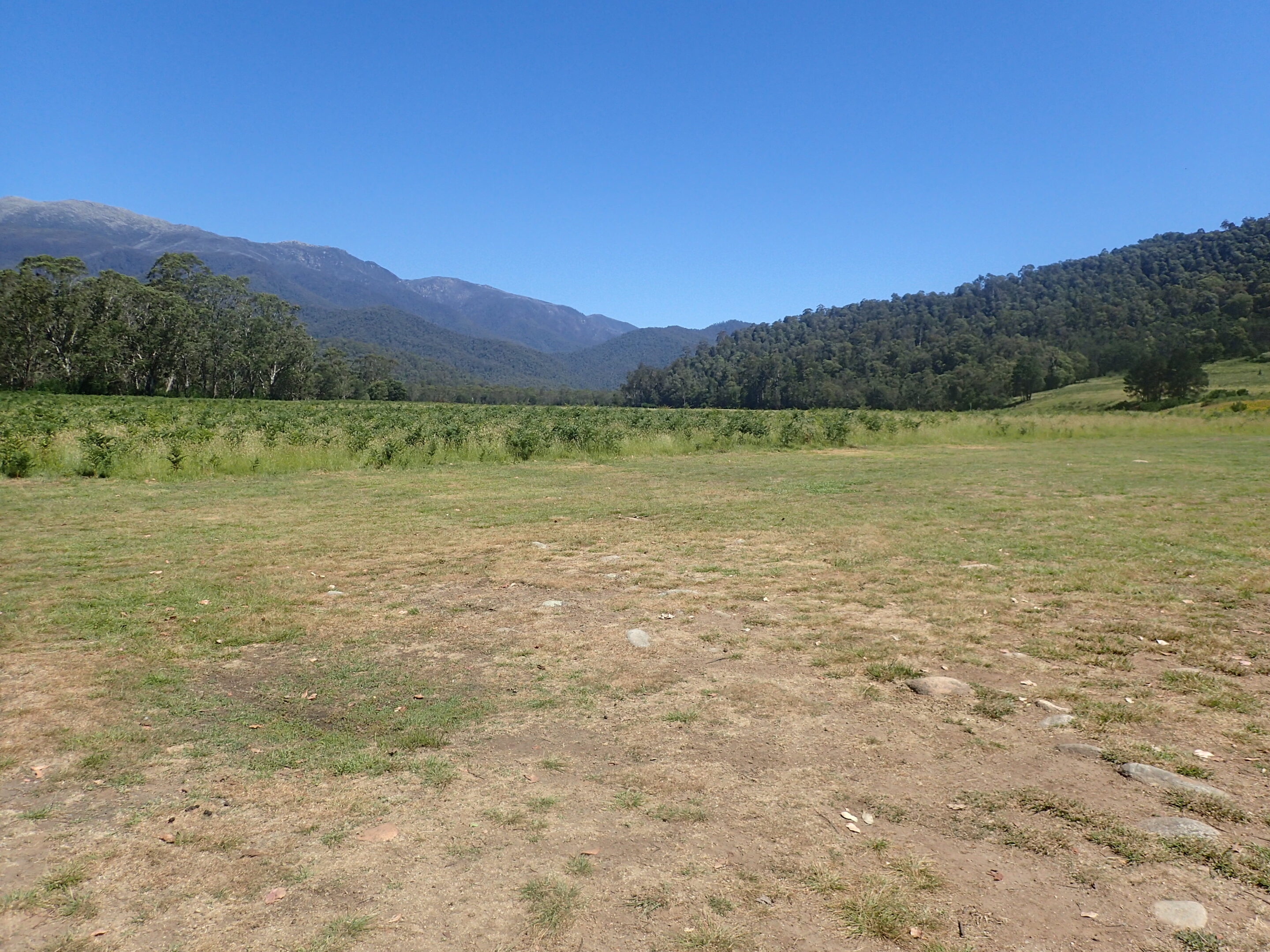
Geehi is a large campsite beside the Swampy Plain River. The site was freshly mown with a number of clean long drop toilets. The steep peaks of the western Snowy Mountains and Mt Townsend rose above us.
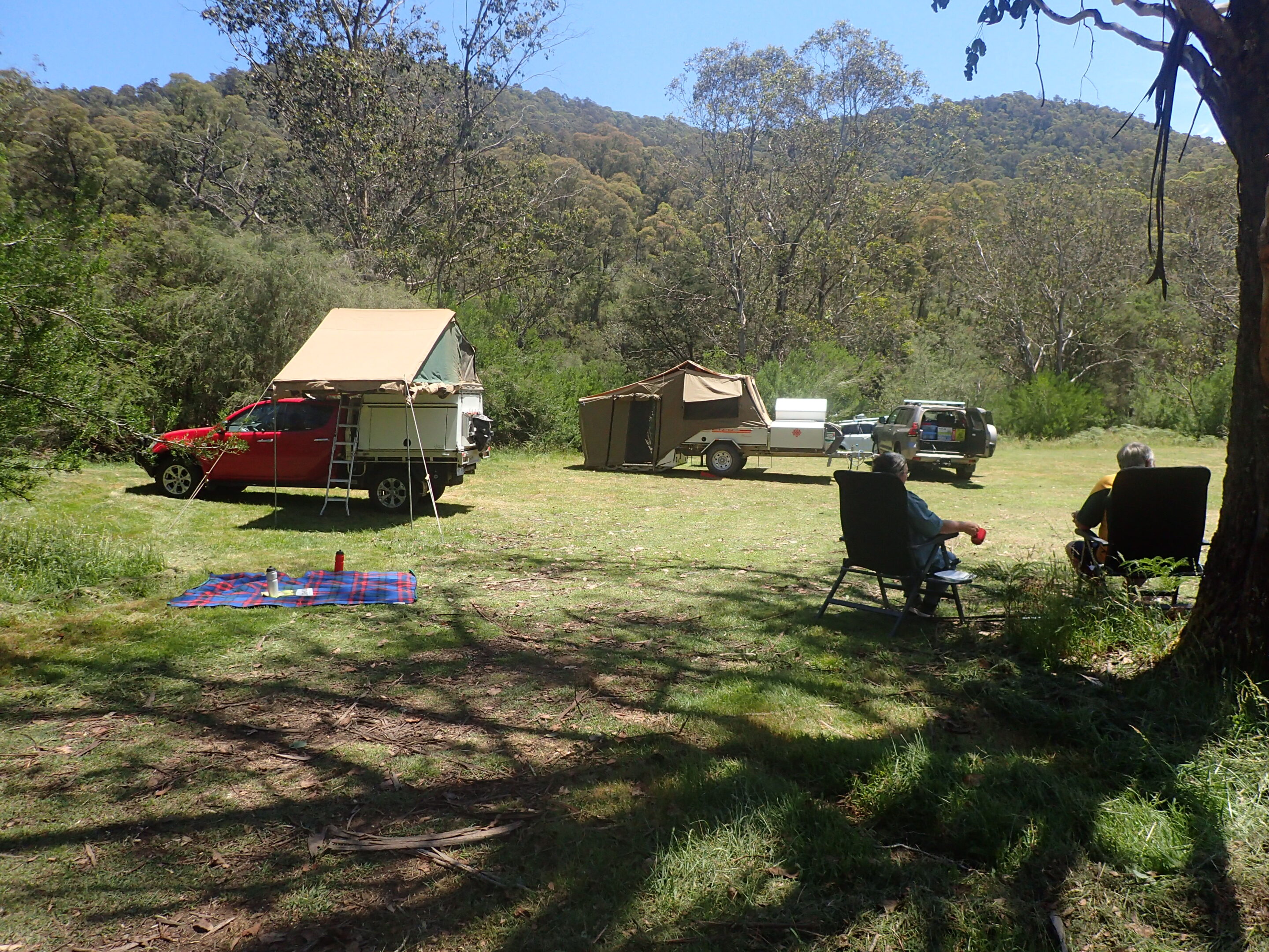
Geehi Campground
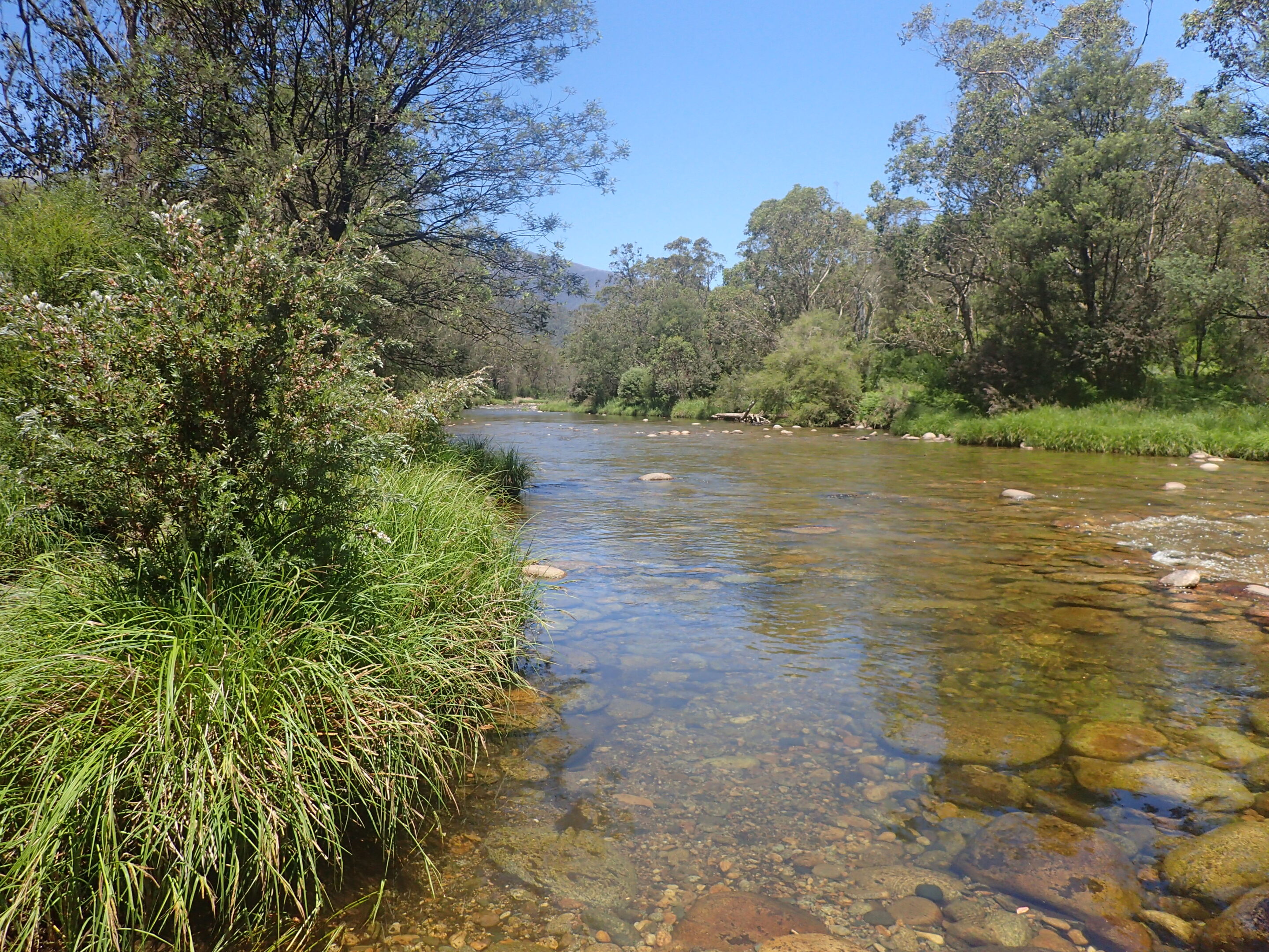
Swampy Plain River
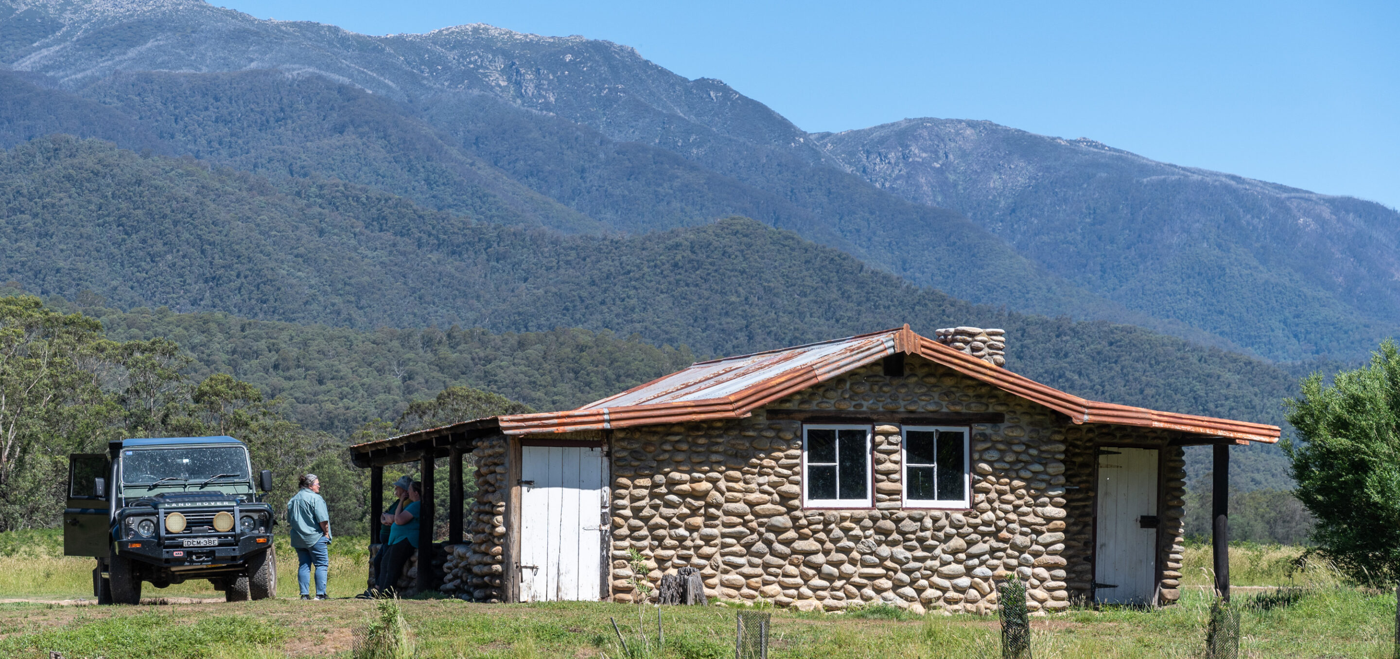
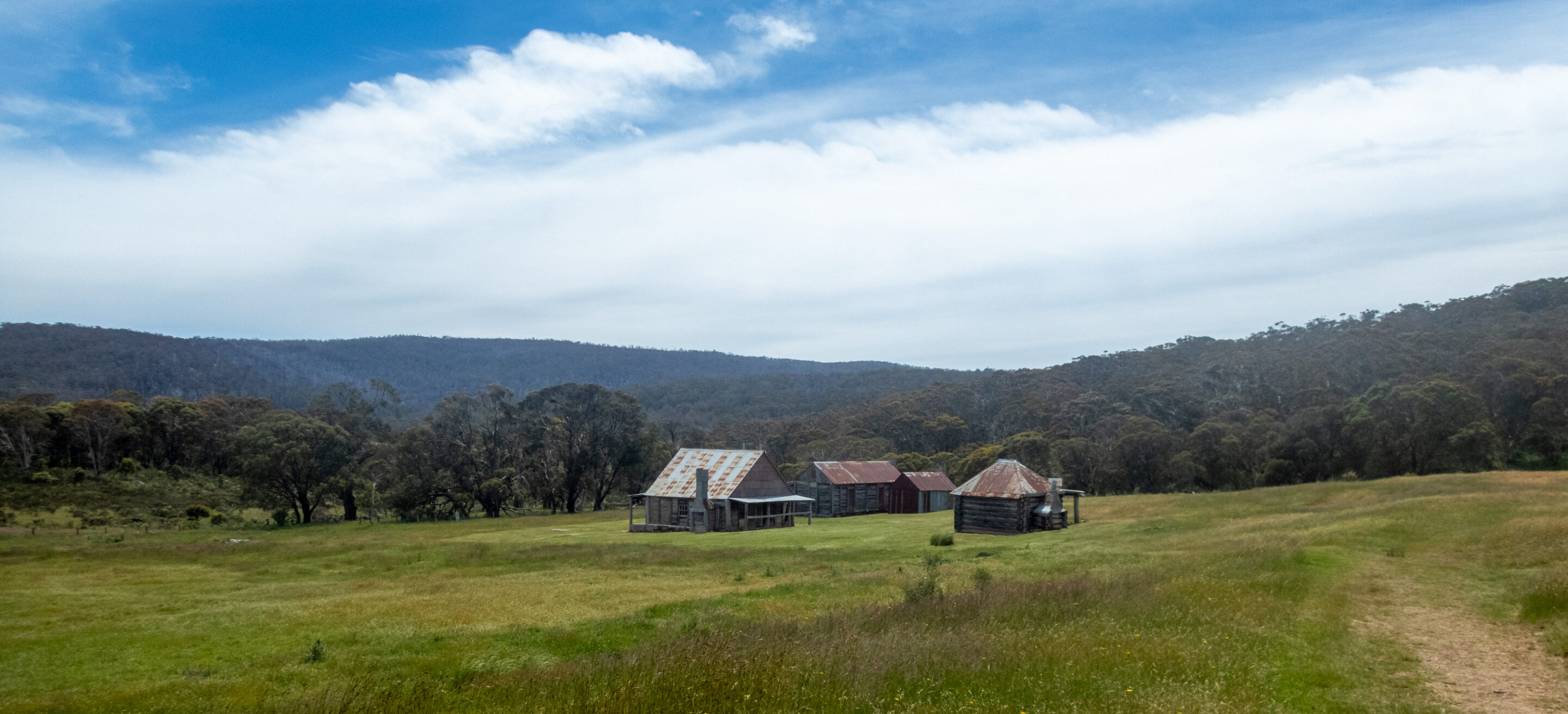
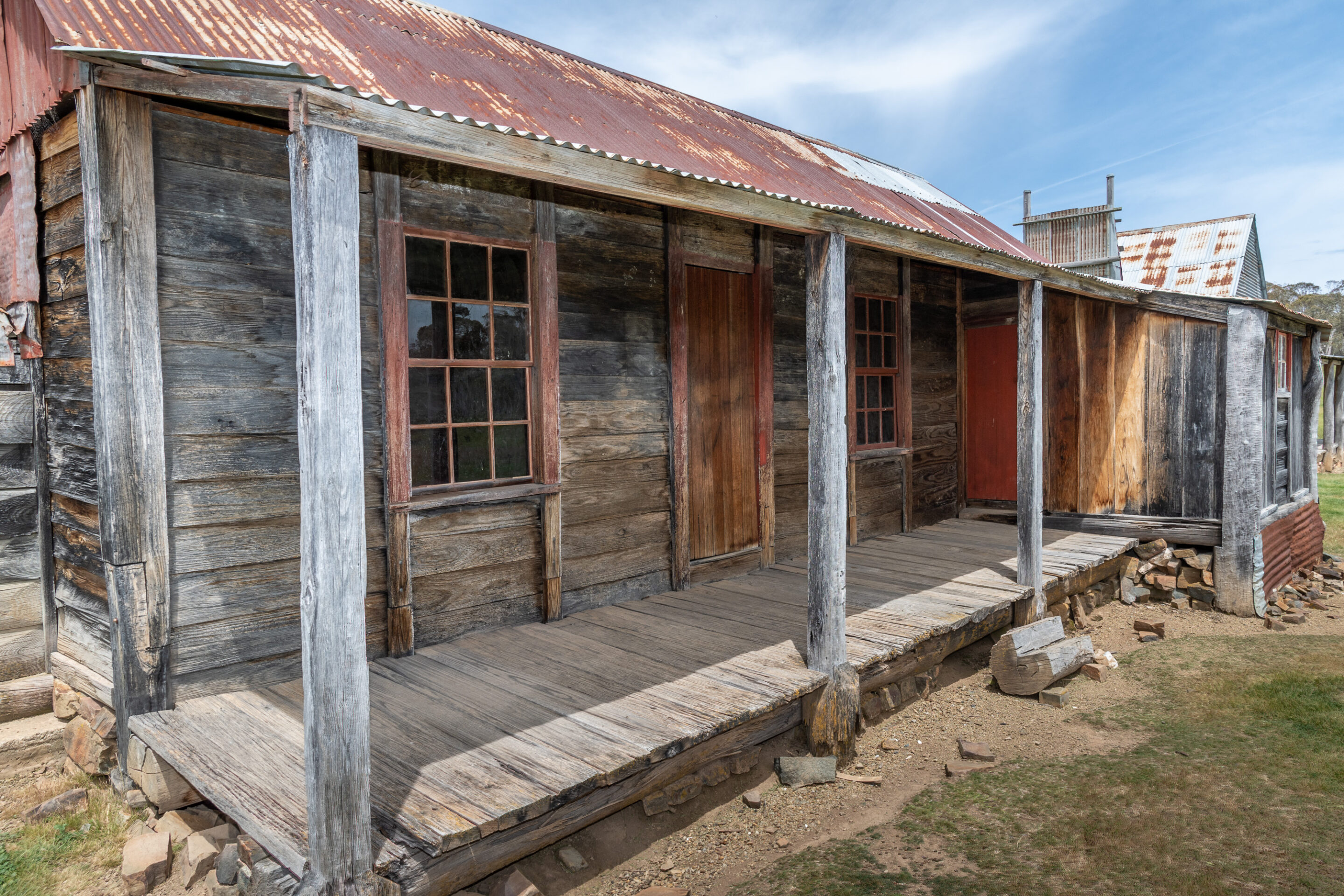
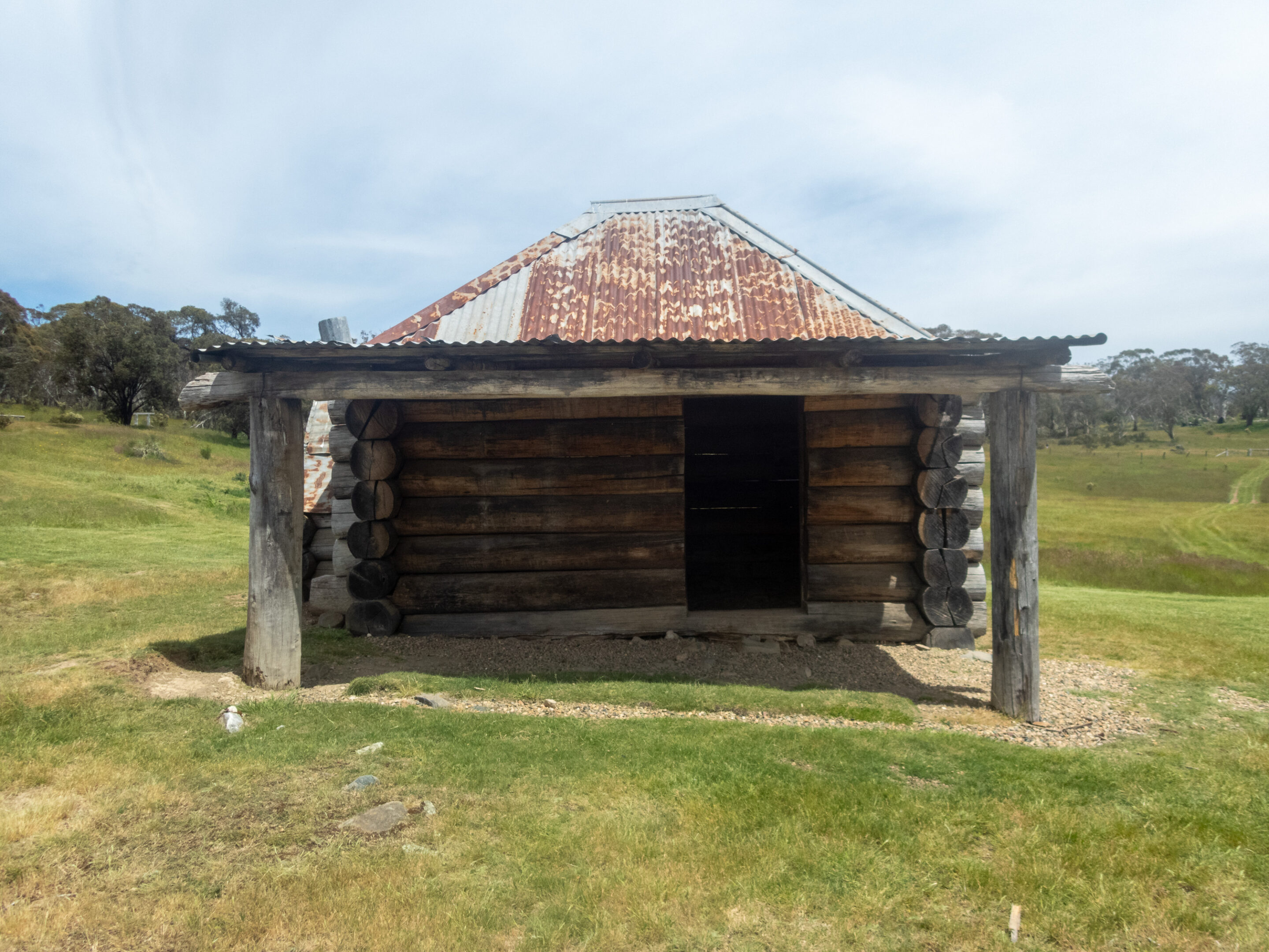
We relaxed at camp until 3pm when we drove 8km up the valley to explore the huts on the Geehi Flats. The drive involved a couple of creek crossings. The huts (Keeble, Geehi, and Old Geehi) are well maintained, built from the smooth grey river rocks. The huts provided shelter or were built as fishing retreats for graziers and prospectors.
We drove along Behrs Flat to Keeble’s Hut. Keeble’s Hut was built in 1948 as a fishing lodge. Rabbits have infiltrated the area; everywhere you looked there was a group of chocolate brown or grey rabbits.
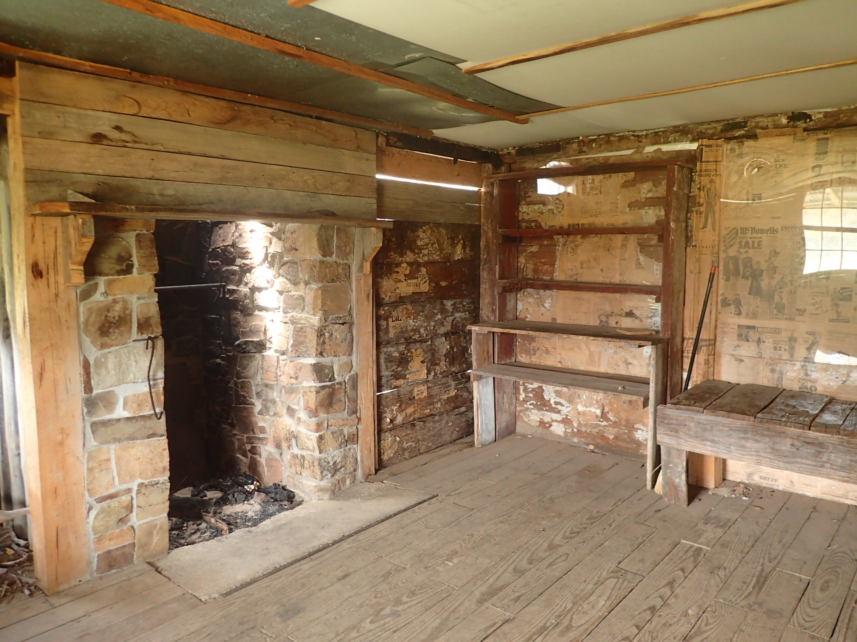
Crossing the river again we came to Old Geehi Hut. The river looked inviting for a swim although the temperature was not so welcoming. This hut was originally built in 1948 and restored after the bushfires of 2003.
We returned to the campground along the same track with a stop at a third hut, Geehi Hut, also known as Nankervis Hut. This hut was built in 1952 to assist with grazing. This was the largest of the huts with three rooms and a fireplace.
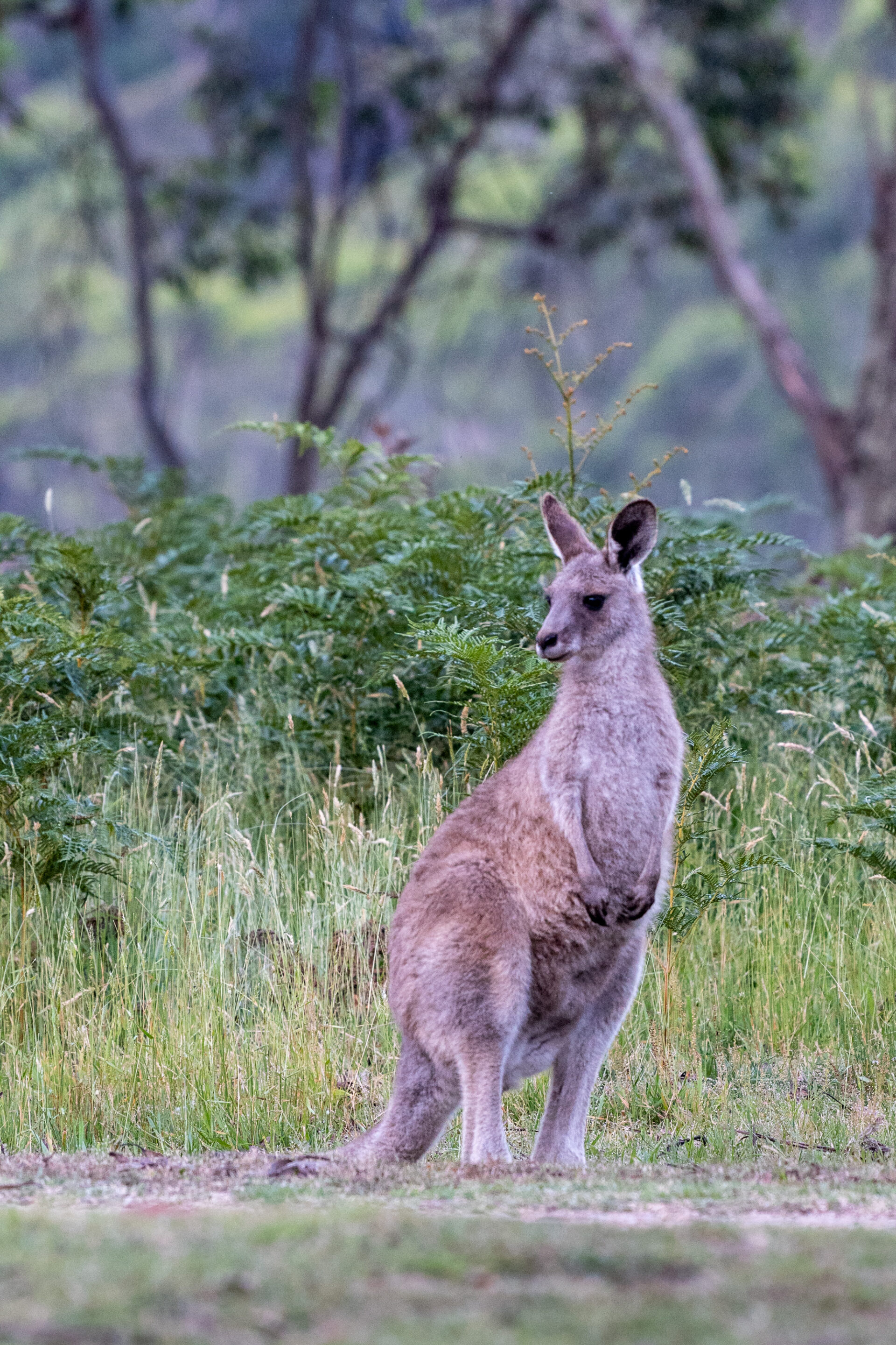
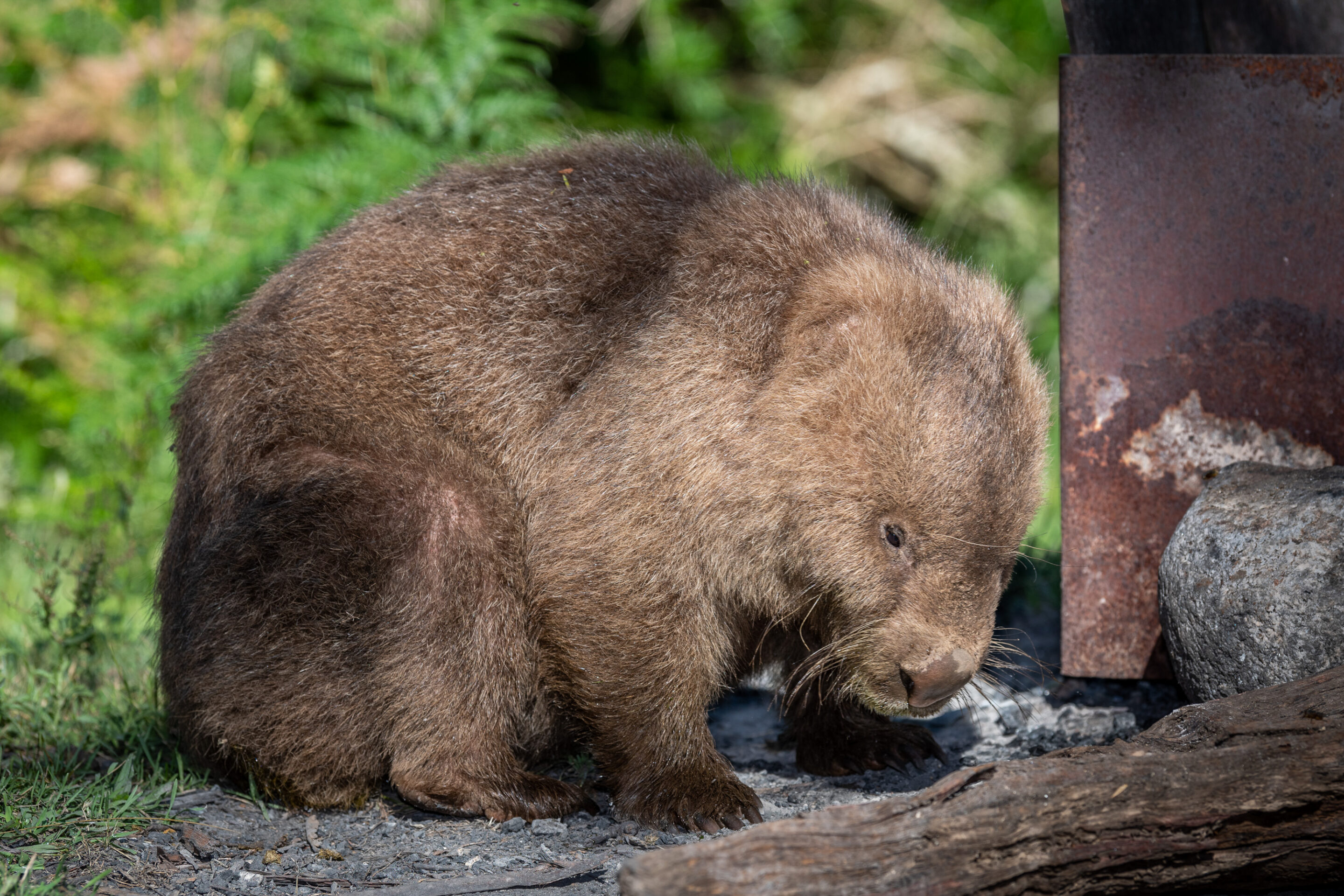
Returning to camp it was time to meet for sundowners, being watched carefully by the eastern grey kangaroos on the grassy plain. We kept an eye out for a wombat who apparently resides next to our campsite.
Keeble’s Hut
Behrs Flat
Old Geehi Hut
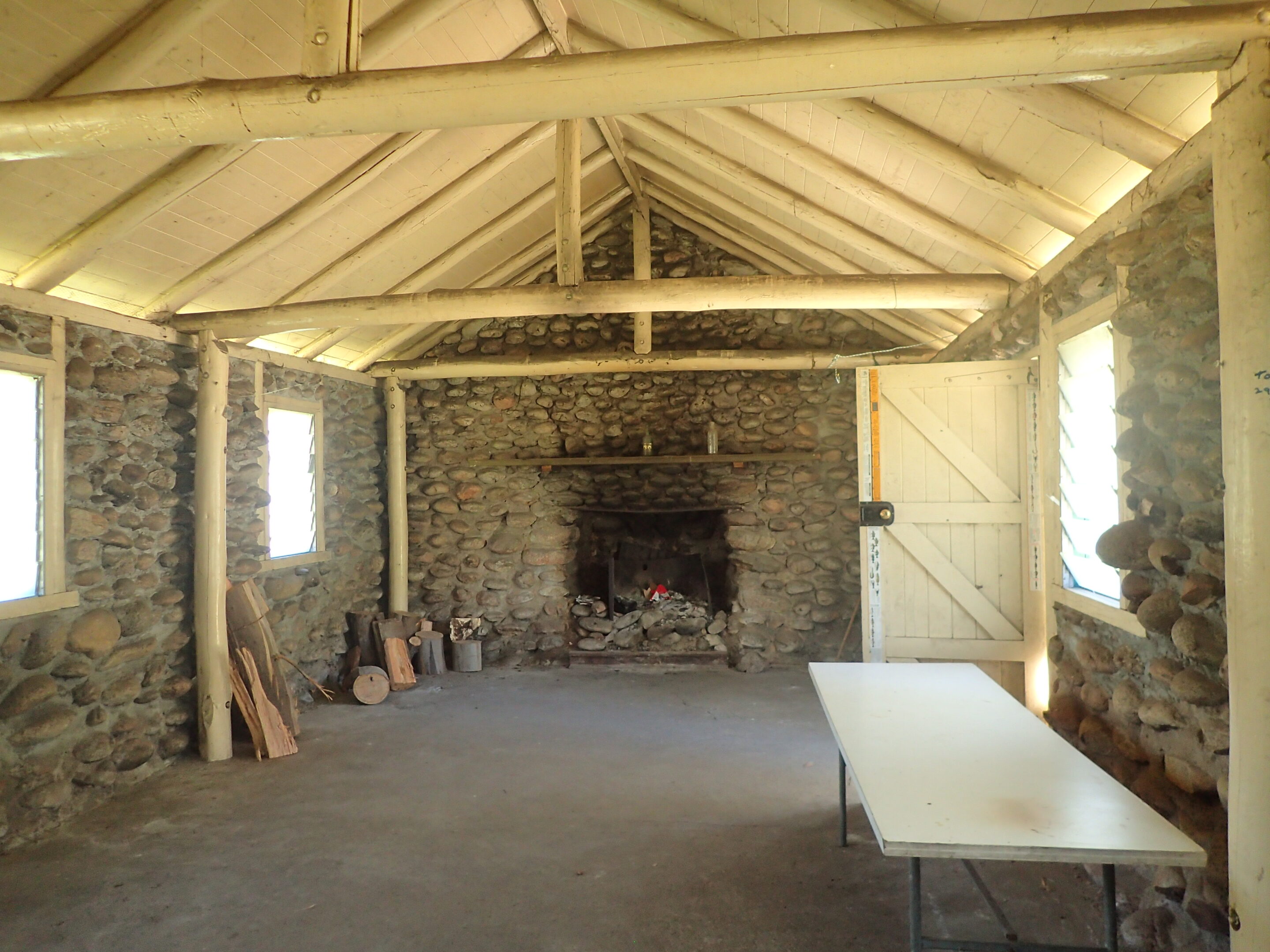
Interior of old Geehi Hut
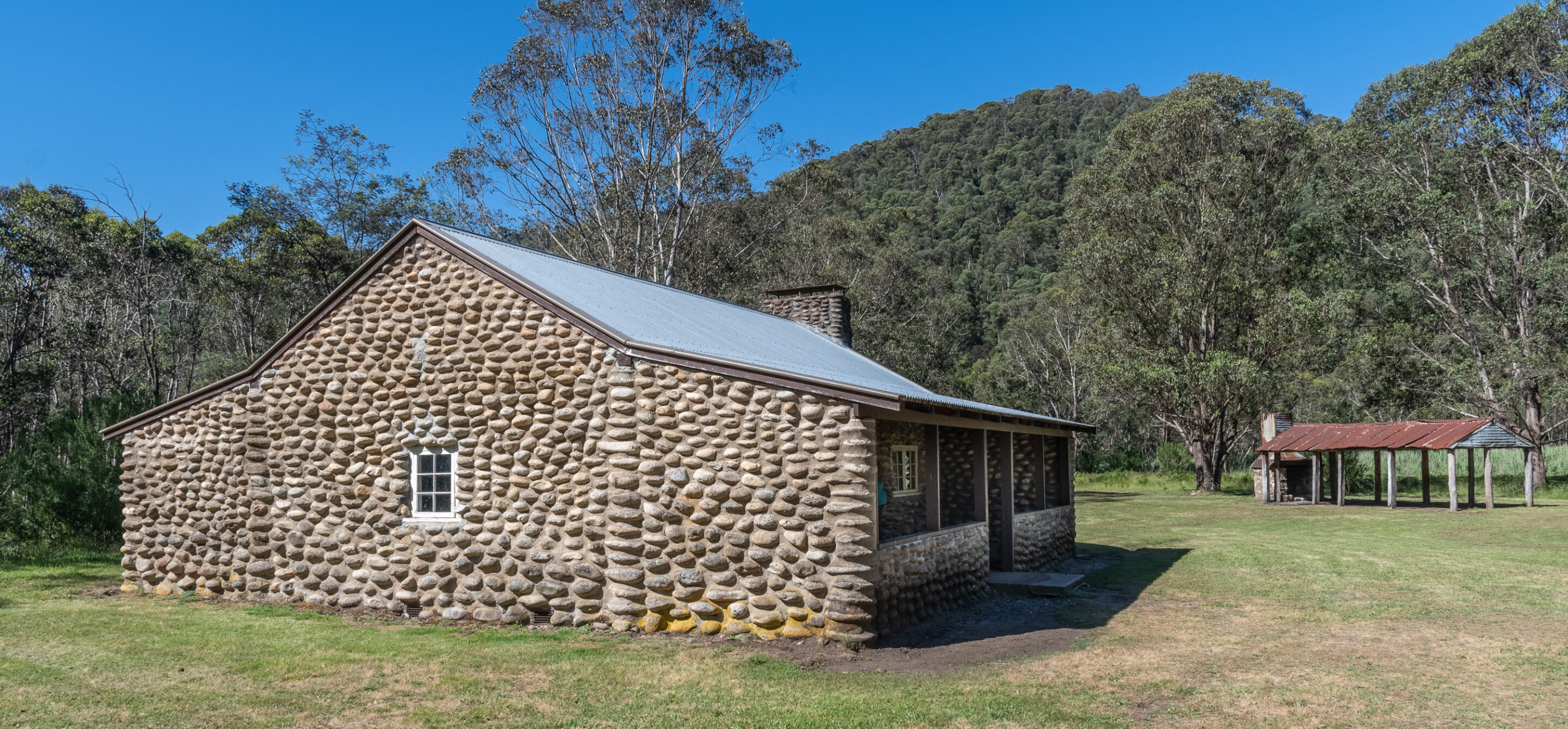
Geehi Hut
Day 2: 4 December 2020
It was a lazy morning with a 9.30am departure. The resident wombat showed his face, wandering around the campsite and inviting himself into tents. He showed absolutely no fear of us and seemed to prefer daylight to night.
We continued our journey along the Alpine Way to Scammell’s Spur Lookout at 1000m above sea level. We drove north through Khancoban and Tooma, stopping for morning tea at the Southern Cloud memorial. The memorial commemorates the crash of the Southern Cloud in 1931 as it flew between Sydney and Melbourne, killing the pilot, co-pilot and six passengers after experiencing unexpected bad weather. The crash site was discovered 27 years later. Following the crash better safety equipment and procedures were introduced. Two-way radios were to be carried on flights and updated weather reports were available before take-off.
It was on to Tumbarumba, an historic gold rush town, for lunch. Today Tumbarumba is famous for its beef and lamb, wineries and blueberries. Tom and I can recommend the Nest Café for fresh food and good coffee.
An hour later we were back on the road travelling to Batlow through many apple orchards, then to Tumut. Still driving on the Snowy Mountains Highway we rose up the range past Talbingo and Yarrangobilly campground to Long Plain Road. This was the first dirt we had driven on today. Many of the roads in the area are now closed due to the summer fires or Snowy Two construction. We spotted many brumbies on the drive along Long Plain Track.
Long Plain campground is spacious. We quickly settled into camp, sundowners, dinner and the evening campfire.
Scammell’s Spur Lookout
Day 3: 5 December 2020
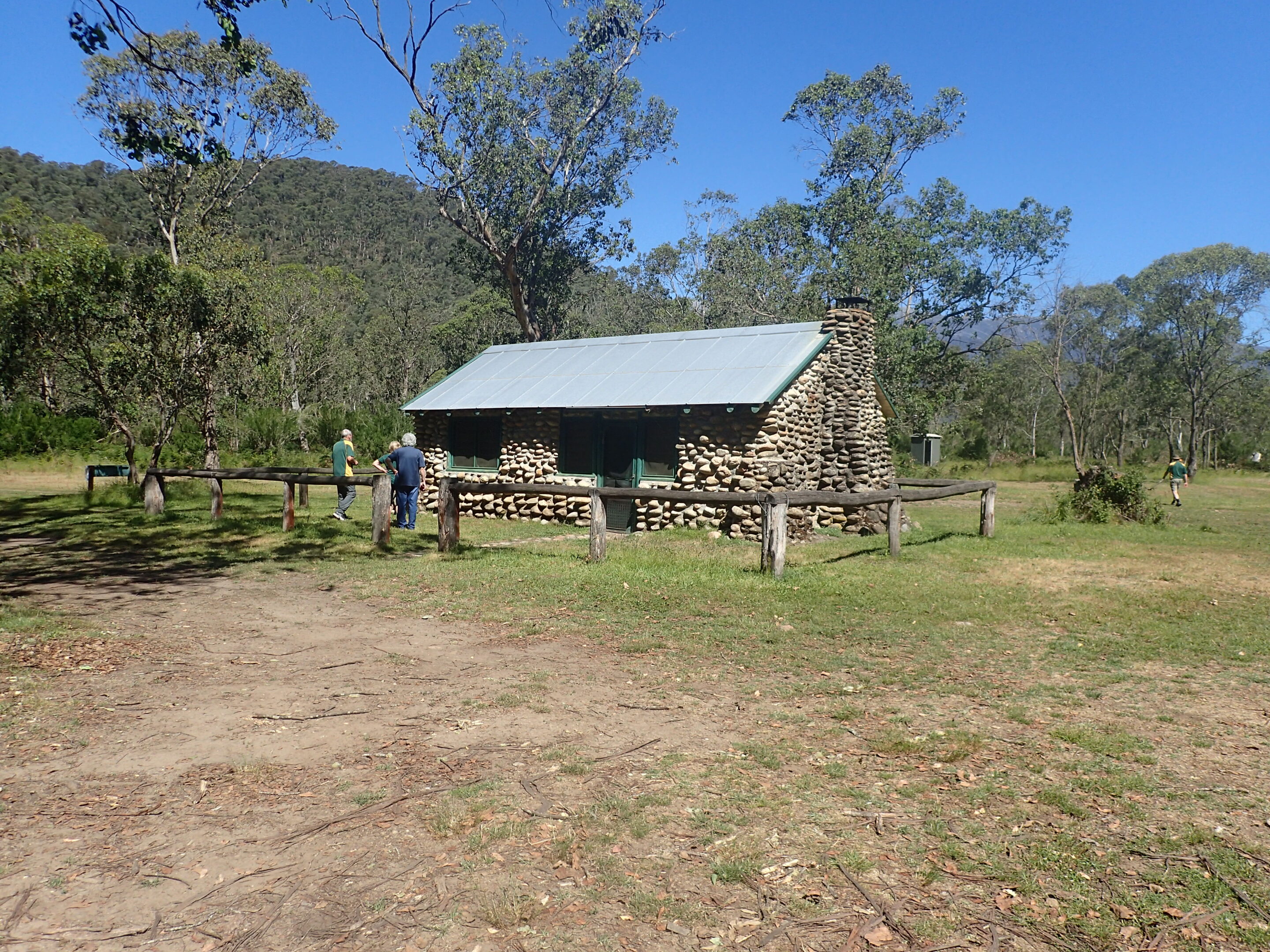
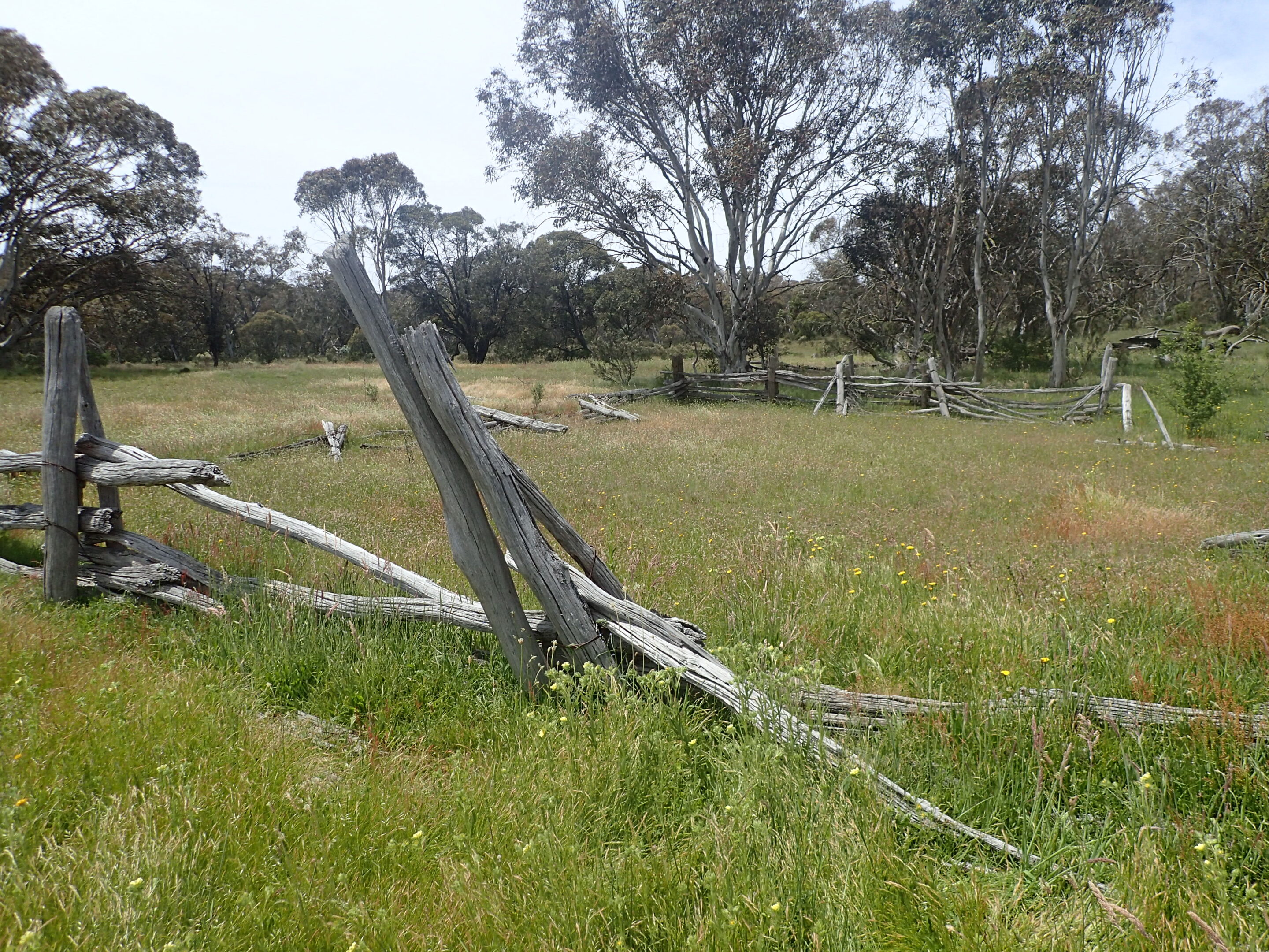
Long Plain Hut was built for graziers in the late 1930s and was last leased in the late 1960s. The hut fell into disrepair and was badly vandalised. Today the NPWS are responsible for the upkeep of the hut along with the help of the LRC ACT. The four-room hut is constructed of timber, with a wooden floor and verandah. The chimneys are mud and mortared rock with iron flues.
Long Plain Hut
We woke to a cooler day and an easy start. There were a number of options for campers today; visits to the nearby huts and Blue Water Holes, a drive to Tantangara Dam and Yarrangobilly Caves, or a relaxing day at camp.
We opted for the tour of local huts. First stop was Cooinbil Hut, an old pastoralist’s home, built in 1908, which overlooks the Long Plain at the headwaters of the Murrumbidgee River. There is a campground here, as well as a separate campground for horseriders.

Cooinbil Hut
Coolamine Homestead
Coolamine stockyards
Coolamine Cheese Store
Coolamine homestead interior
It was then back on the track to Blue Waterholes. There were a few people camping here. We walked down to Cave Creek and did a little exploring. A stay here would be ideal with opportunities to hike the Clarke Gorge and Nichols Gorge walking tracks. Small limestone cliffs and rock formations line the creek. The water’s blue colour is due to the calcium carbonate dissolved from the limestone rocks lining the creek.
I am sure platypuses inhabit the area. A return at dusk would be recommended.
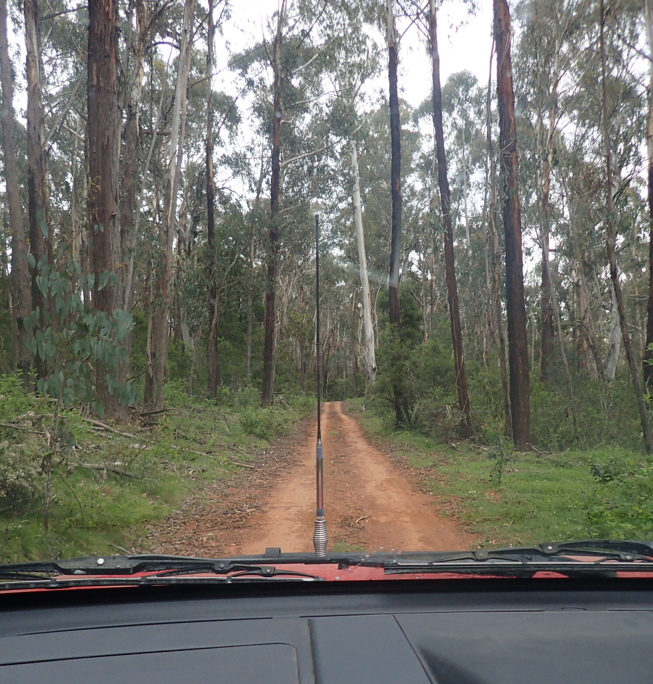
We ate lunch at the campground. While enjoying our lunch a ranger visited warning of a storm front forecast to hit the area mid-afternoon. Tom and I decided to head back to Canberra as a wet and windy night under canvas did not appeal. We returned home via Blue Waterholes Track, Broken Cart Road, Boundary Road, Bramina Road, Brindabella Road, and Uriarra Road. There was evidence of many fallen trees and we did have to remove some from the track to pass. The coming storm would no doubt bring down more trees.
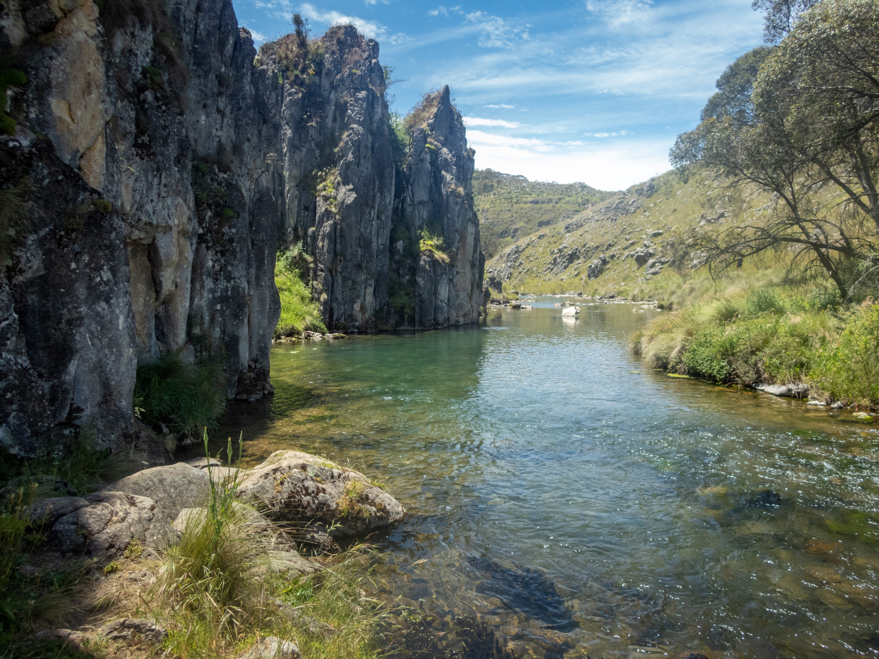
Blue Waterholes
Broken Cart Track.
Our thanks to Kevin for leading the Alpine Antics trip.
Trip report by Tom and Ann de Jongh